Ely night lights from space
Night Light of Ely (England) from space (United Kingdom) Src. Average luminocity for 10x10km area is 7.4634% and for 50x50km: 5.2594%.
Analysis of Ely night lights 2016
Square area 10x10 km:
 0.38%
0.38%90-99
1.14%80-89
0%70-79
1.39%60-69
1.64%50-59
1.52%40-49
1.14%30-39
1.39%20-29
1.52%10-19
0%0-9
89.9%Square area 50x50 km:
0.52%90-99
0.74%80-89
0.51%70-79
0.58%60-69
0.77%50-59
0.94%40-49
0.78%30-39
0.8%20-29
0.99%10-19
3.1%0-9
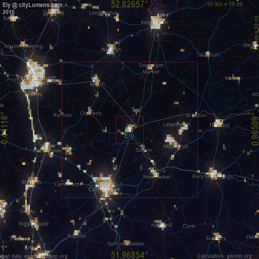
90.27%Clear (daylight) street map image can be seen on geolist.org.
Map coordinates:
52° 49' 35.7" North, 0° 26' 28.2" West
52° 23' 58.7" North, 0° 15' 43.1" East
51° 58' 6.7" North, 0° 57' 54.3" East
Some cities around Ely sort by population:
• Mildenhall
18 km =11.2 mi,  109°
109°
• Chatteris
15.5 km =9.6 mi,  293°
293°
• Soham
8.8 km =5.5 mi,  144°
144°
• Littleport
7.1 km =4.4 mi,  24°
24°
• Histon
19.6 km =12.2 mi,  212°
212°
• Burwell
14.4 km =8.9 mi,  162°
162°
• Cottenham
15.5 km =9.6 mi,  216°
216°
• Waterbeach
15.7 km =9.8 mi,  197°
197°
2650023 (p: 19,090)
Sources (retrieved 2019-11-25):
» Earth at Night: Flat Maps 2012, 2016