Dorchester night lights from space
Night Light of Dorchester (England) from space (United Kingdom) Src. Average luminocity for 10x10km area is 7.1805% and for 50x50km: 2.3195%.
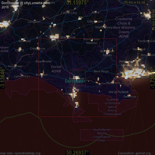
Analysis of Dorchester night lights 2016
Square area 10x10 km:
 1.07%
1.07%90-99
0.53%80-89
0%70-79
0.53%60-69
1.87%50-59
1.6%40-49
1.34%30-39
0.13%20-29
0.4%10-19
1.34%0-9
91.18%Square area 50x50 km:
0.15%90-99
0.3%80-89
0.14%70-79
0.31%60-69
0.48%50-59
0.33%40-49
0.5%30-39
0.25%20-29
0.31%10-19
1.6%0-9
95.63%Clear (daylight) street map image can be seen on geolist.org.
Map coordinates:
51° 9' 35.1" North, 3° 8' 11.3" West
50° 43' 0" North, 2° 25' 60" West
50° 16' 9.7" North, 1° 43' 48.8" West
Some cities around Dorchester sort by population:
• Weymouth
11.5 km =7.1 mi,  189°
189°
• Bridport
23 km =14.3 mi,  274°
274°
• Portland
16.6 km =10.3 mi,  182°
182°
• Blandford Forum
24.9 km =15.5 mi,  50°
50°
• Sherborne
26.2 km =16.3 mi,  346°
346°
• Easton
20.4 km =12.7 mi, 183°
• Wareham
23 km =14.3 mi,  98°
98°
• Manston
28.5 km =17.7 mi,  24°
24°
2651101 (p: 16,879)
Sources (retrieved 2019-11-25):
» Earth at Night: Flat Maps 2012, 2016