Ballymoney night lights from space
Night Light of Ballymoney (Northern Ireland) from space (United Kingdom) Src. Average luminocity for 10x10km area is 3.2306% and for 50x50km: 2.1739%.
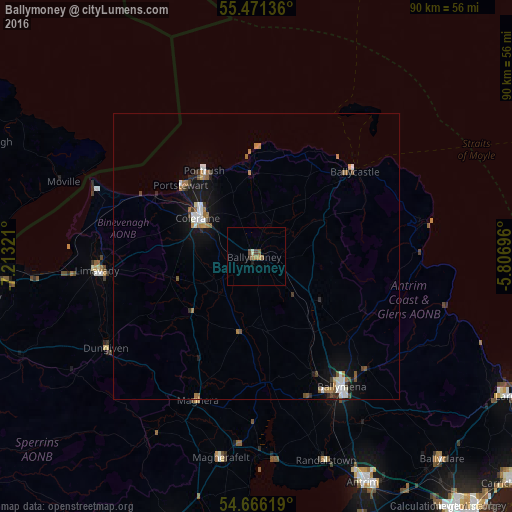
Analysis of Ballymoney night lights 2016
Square area 10x10 km:
 0%
0%90-99
0.5%80-89
0%70-79
0.5%60-69
1.13%50-59
1%40-49
0.88%30-39
0.5%20-29
0%10-19
0.5%0-9
94.99%Square area 50x50 km:
0.29%90-99
0.4%80-89
0.05%70-79
0.16%60-69
0.53%50-59
0.33%40-49
0.3%30-39
0.22%20-29
0.22%10-19
1.73%0-9
95.76%Clear (daylight) street map image can be seen on geolist.org.
Map coordinates:
55° 28' 16.9" North, 7° 12' 47.6" West
55° 4' 14.9" North, 6° 30' 36.3" West
54° 39' 58.3" North, 5° 48' 25.1" West
Some cities around Ballymoney sort by population:
• Coleraine
12.1 km =7.5 mi,  304°
304°
• Antrim
45.8 km =28.5 mi,  154°
154°
• Limavady
28.2 km =17.5 mi,  265°
265°
• Cookstown
49.9 km =31 mi,  197°
197°
• Magherafelt
35.8 km =22.2 mi,  189°
189°
• Portstewart
17.9 km =11.1 mi,  313°
313°
• Portrush
16.5 km =10.3 mi,  327°
327°
• Randalstown
38.1 km =23.7 mi,  159°
159°
2656488 (p: 9,625)
Sources (retrieved 2019-11-25):
» Earth at Night: Flat Maps 2012, 2016