Coity night lights from space
Night Light of Coity (Wales) from space (United Kingdom) Src. Average luminocity for 10x10km area is 34.2727% and for 50x50km: 13.7513%.
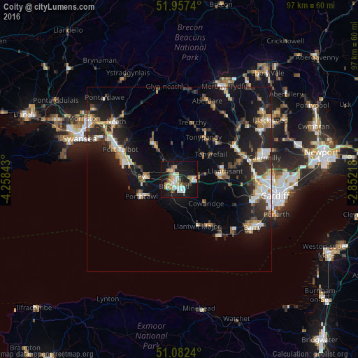
Analysis of Coity night lights 2016
Square area 10x10 km:
 6.02%
6.02%90-99
6.42%80-89
4.55%70-79
6.42%60-69
4.14%50-59
0.27%40-49
4.28%30-39
1.34%20-29
4.81%10-19
43.85%0-9
17.91%Square area 50x50 km:
1.7%90-99
2.26%80-89
1.15%70-79
1.68%60-69
1.64%50-59
1.44%40-49
1.68%30-39
2.52%20-29
4.79%10-19
12.49%0-9
68.63%Clear (daylight) street map image can be seen on geolist.org.
Map coordinates:
51° 57' 26.6" North, 4° 15' 30.3" West
51° 31' 19.2" North, 3° 33' 19.1" West
51° 4' 56.6" North, 2° 51' 7.8" West
Some cities around Coity sort by population:
• Bridgend
2.4 km =1.5 mi,  220°
220°
• Pyle
10 km =6.2 mi,  266°
266°
• Aberkenfig
3.4 km =2.1 mi,  305°
305°
• Tonyrefail
11.1 km =6.9 mi,  51°
51°
• Pencoed
3.8 km =2.4 mi,  87°
87°
• Brynna
6.6 km =4.1 mi,  73°
73°
• Pontyclun
11.3 km =7 mi, 90°
• Llanharan
8.2 km =5.1 mi,  77°
77°
2652622 (p: 41,352)
Sources (retrieved 2019-11-25):
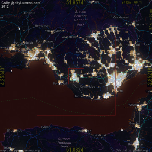
» Earth at Night: Flat Maps 2012, 2016