Wilmslow night lights from space
Night Light of Wilmslow (England) from space (United Kingdom) Src. Average luminocity for 10x10km area is 39.8422% and for 50x50km: 32.7858%.
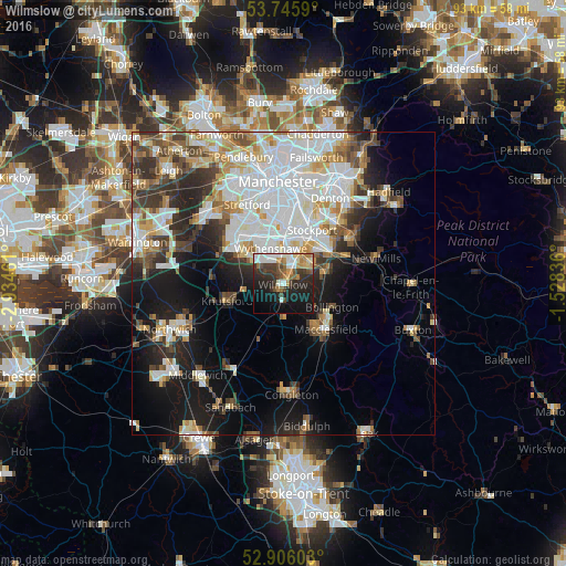
Analysis of Wilmslow night lights 2016
Square area 10x10 km:
 7.58%
7.58%90-99
7.45%80-89
3.54%70-79
4.55%60-69
5.93%50-59
3.28%40-49
6.31%30-39
7.45%20-29
14.9%10-19
24.24%0-9
14.77%Square area 50x50 km:
9.64%90-99
7.27%80-89
3.21%70-79
3.28%60-69
3.17%50-59
3.07%40-49
3.66%30-39
4.16%20-29
6.14%10-19
12.52%0-9
43.88%Clear (daylight) street map image can be seen on geolist.org.
Map coordinates:
53° 44' 45.2" North, 2° 56' 4.6" West
53° 19' 40.9" North, 2° 13' 53.3" West
52° 54' 21.7" North, 1° 31' 42.1" West
Some cities around Wilmslow sort by population:
• Cheadle Hulme
6 km =3.7 mi,  27°
27°
• Bramhall
5.5 km =3.4 mi,  52°
52°
• Hale
8.7 km =5.4 mi,  309°
309°
• Hazel Grove
9.8 km =6.1 mi, 51°
• Poynton
8 km =5 mi,  72°
72°
• Didsbury
9.9 km =6.2 mi,  0°
0°
• Knutsford
9.9 km =6.2 mi,  253°
253°
• Bollington
8.9 km =5.5 mi,  114°
114°
2633883 (p: 36,617)
Sources (retrieved 2019-11-25):
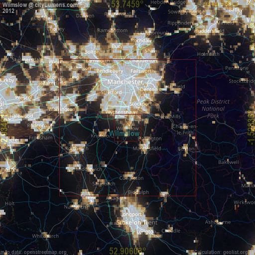
» Earth at Night: Flat Maps 2012, 2016