Lambeth night lights from space
Night Light of Lambeth (England) from space (United Kingdom) Src. Average luminocity for 10x10km area is 99.9318% and for 50x50km: 70.376%.
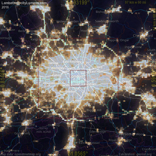
Analysis of Lambeth night lights 2016
Square area 10x10 km:
 93.58%
90-99
6.42%80-89
0%70-79
0%60-69
0%50-59
0%40-49
0%30-39
0%20-29
0%10-19
0%0-9
0%Square area 50x50 km:
28.84%90-99
17.17%80-89
6.82%70-79
5.65%60-69
6.6%50-59
6.65%40-49
5.46%30-39
5.63%20-29
6.45%10-19
5.48%0-9
5.26%Clear (daylight) street map image can be seen on geolist.org.
Map coordinates:
51° 55' 55.2" North, 0° 48' 52.7" West
51° 29' 46.9" North, 0° 6' 41.5" West
51° 3' 23.4" North, 0° 35' 29.8" East
Some cities around Lambeth sort by population:
• London
1.7 km =1.1 mi,  323°
323°
• City of Westminster
1.7 km =1.1 mi,  274°
274°
• Battersea
3.9 km =2.4 mi,  231°
231°
• Peckham
3.8 km =2.4 mi,  130°
130°
• Brixton
3.4 km =2.1 mi,  174°
174°
• Chelsea
4.1 km =2.5 mi,  256°
256°
• West End of London
3.6 km =2.2 mi,  303°
303°
• City of London
2.3 km =1.4 mi,  36°
36°
6545250 (p: 6,000)
Sources (retrieved 2019-11-25):
» Earth at Night: Flat Maps 2012, 2016