Chelsea night lights from space
Night Light of Chelsea (England) from space (United Kingdom) Src. Average luminocity for 10x10km area is 99.7206% and for 50x50km: 70.5702%.
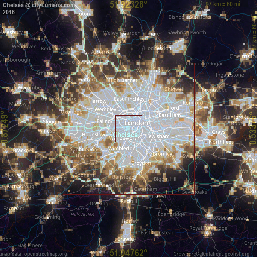
Analysis of Chelsea night lights 2016
Square area 10x10 km:
 88.37%
90-99
10.83%80-89
0.67%70-79
0.13%60-69
0%50-59
0%40-49
0%30-39
0%20-29
0%10-19
0%0-9
0%Square area 50x50 km:
28.7%90-99
17.09%80-89
6.72%70-79
5.64%60-69
6.66%50-59
6.77%40-49
6.02%30-39
5.91%20-29
6.42%10-19
6.04%0-9
4.03%Clear (daylight) street map image can be seen on geolist.org.
Map coordinates:
51° 55' 23.8" North, 0° 52' 21" West
51° 29' 15.2" North, 0° 10' 9.7" West
51° 2' 51.4" North, 0° 32' 1.5" East
Some cities around Chelsea sort by population:
• London
3.8 km =2.4 mi,  52°
52°
• City of Westminster
2.6 km =1.6 mi,  64°
64°
• Battersea
1.7 km =1.1 mi,  145°
145°
• Brixton
5 km =3.1 mi,  118°
118°
• Bayswater
2.8 km =1.7 mi,  338°
338°
• Earlsfield
5 km =3.1 mi,  192°
192°
• West End of London
3.1 km =1.9 mi,  18°
18°
• Lambeth
4.1 km =2.5 mi,  76°
76°
2653265 (p: 60,000)
Sources (retrieved 2019-11-25):
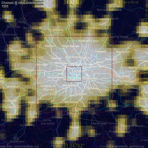
» NASA, Earths city lights 1995
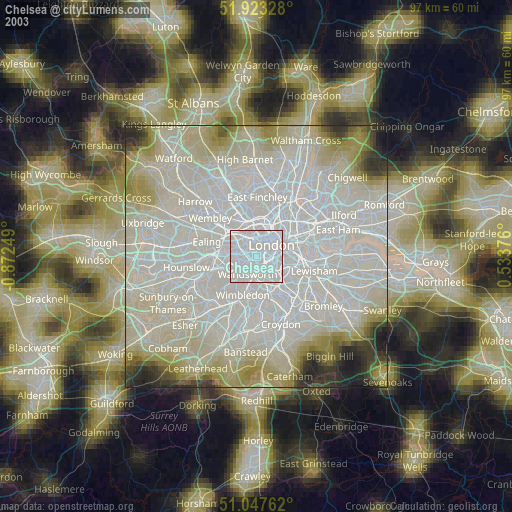
» NASA city lights 2003
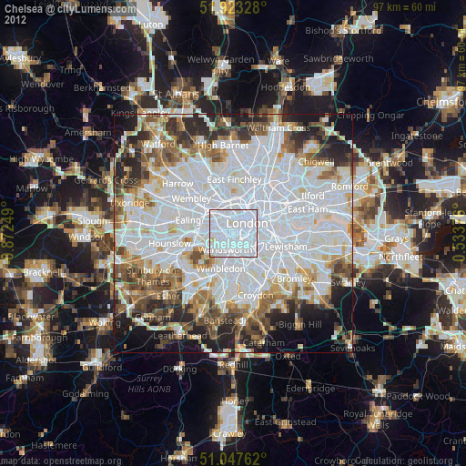
» Earth at Night: Flat Maps 2012, 2016