Kelso night lights from space
Night Light of Kelso (Scotland) from space (United Kingdom) Src. Average luminocity for 10x10km area is 2.6028% and for 50x50km: 0.6859%.
Analysis of Kelso night lights 2016
Square area 10x10 km:
 0%
0%90-99
0.5%80-89
0.25%70-79
1.25%60-69
0%50-59
0.5%40-49
0%30-39
0.63%20-29
0.38%10-19
0.5%0-9
95.99%Square area 50x50 km:
0.01%90-99
0.03%80-89
0.14%70-79
0.15%60-69
0.11%50-59
0.07%40-49
0.15%30-39
0.15%20-29
0.15%10-19
0.14%0-9
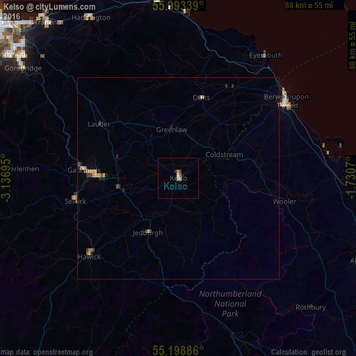
98.91%Clear (daylight) street map image can be seen on geolist.org.
Map coordinates:
55° 59' 36.2" North, 3° 8' 13" West
55° 35' 53.3" North, 2° 26' 1.8" West
55° 11' 55.9" North, 1° 43' 50.5" West
Some cities around Kelso sort by population:
• Hawick
29.6 km =18.4 mi,  228°
228°
• Berwick-Upon-Tweed
32.9 km =20.4 mi,  54°
54°
• Galashiels
23.5 km =14.6 mi,  274°
274°
• Haddington
45.4 km =28.2 mi,  331°
331°
• Dunbar
45 km =28 mi,  353°
353°
• Peebles
47.8 km =29.7 mi,  277°
277°
• Gorebridge
47.2 km =29.3 mi,  305°
305°
• Selkirk
26.1 km =16.2 mi,  257°
257°
2645849 (p: 5,600)
Sources (retrieved 2019-11-25):
» Earth at Night: Flat Maps 2012, 2016