Galashiels night lights from space
Night Light of Galashiels (Scotland) from space (United Kingdom) Src. Average luminocity for 10x10km area is 8.5627% and for 50x50km: 0.8677%.
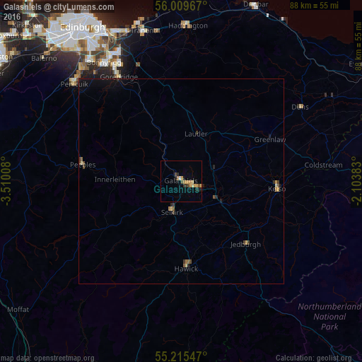
Analysis of Galashiels night lights 2016
Square area 10x10 km:
 0.25%
0.25%90-99
0.25%80-89
1.75%70-79
2.51%60-69
1.5%50-59
0%40-49
2.01%30-39
1.13%20-29
1.25%10-19
1.38%0-9
87.97%Square area 50x50 km:
0.01%90-99
0.04%80-89
0.15%70-79
0.15%60-69
0.12%50-59
0.11%40-49
0.19%30-39
0.17%20-29
0.14%10-19
0.57%0-9
98.36%Clear (daylight) street map image can be seen on geolist.org.
Map coordinates:
56° 0' 34.8" North, 3° 30' 36.3" West
55° 36' 52.5" North, 2° 48' 25" West
55° 12' 55.7" North, 2° 6' 13.8" West
Some cities around Galashiels sort by population:
• Bonnyrigg
34.3 km =21.3 mi,  327°
327°
• Hawick
21.4 km =13.3 mi,  176°
176°
• Mayfield
32.1 km =19.9 mi, 333°
• Dalkeith
35 km =21.7 mi, 332°
• Peebles
24.3 km =15.1 mi,  279°
279°
• Gorebridge
29.8 km =18.5 mi, 329°
• Selkirk
7.7 km =4.8 mi,  195°
195°
• Kelso
23.5 km =14.6 mi,  94°
94°
2648928 (p: 12,660)
Sources (retrieved 2019-11-25):
» Earth at Night: Flat Maps 2012, 2016