Hawick night lights from space
Night Light of Hawick (Scotland) from space (United Kingdom) Src. Average luminocity for 10x10km area is 2.0048% and for 50x50km: 0.669%.
Analysis of Hawick night lights 2016
Square area 10x10 km:
 0%
0%90-99
0%80-89
0.48%70-79
0%60-69
0.96%50-59
0.48%40-49
0.48%30-39
0.48%20-29
0.48%10-19
0%0-9
96.65%Square area 50x50 km:
0.01%90-99
0.03%80-89
0.14%70-79
0.15%60-69
0.12%50-59
0.08%40-49
0.16%30-39
0.11%20-29
0.14%10-19
0.12%0-9
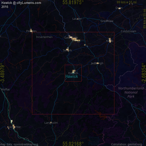
98.94%Clear (daylight) street map image can be seen on geolist.org.
Map coordinates:
55° 49' 11.1" North, 3° 29' 23.2" West
55° 25' 21.8" North, 2° 47' 12" West
55° 1' 18" North, 2° 5' 0.7" West
Some cities around Hawick sort by population:
• Bonnyrigg
53.9 km =33.5 mi,  338°
338°
• Penicuik
53.1 km =33 mi,  328°
328°
• Mayfield
52.4 km =32.6 mi, 342°
• Galashiels
21.4 km =13.3 mi,  356°
356°
• Peebles
35.9 km =22.3 mi,  315°
315°
• Gorebridge
49.8 km =30.9 mi, 340°
• Selkirk
14.2 km =8.8 mi,  346°
346°
• Kelso
29.6 km =18.4 mi,  48°
48°
2647297 (p: 14,050)
Sources (retrieved 2019-11-25):
» Earth at Night: Flat Maps 2012, 2016