Hornchurch night lights from space
Night Light of Hornchurch (England) from space (United Kingdom) Src. Average luminocity for 10x10km area is 77.8088% and for 50x50km: 52.3591%.
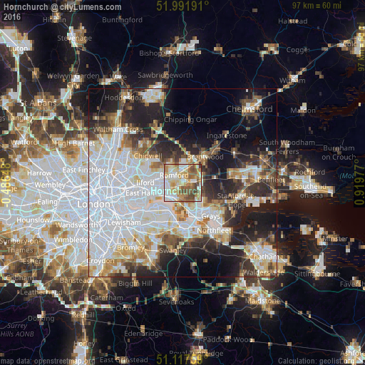
Analysis of Hornchurch night lights 2016
Square area 10x10 km:
 15.78%
90-99
20.32%80-89
17.51%70-79
12.17%60-69
10.96%50-59
14.04%40-49
7.89%30-39
1.34%20-29
0%10-19
0%0-9
0%Square area 50x50 km:
19.33%90-99
11.53%80-89
5.37%70-79
4.37%60-69
4.51%50-59
4.48%40-49
4.66%30-39
5.31%20-29
9.39%10-19
13.48%0-9
17.57%Clear (daylight) street map image can be seen on geolist.org.
Map coordinates:
51° 59' 30.9" North, 0° 29' 11.3" West
51° 33' 24.7" North, 0° 12' 59.9" East
51° 7' 3.3" North, 0° 55' 11.2" East
Some cities around Hornchurch sort by population:
• Dagenham
3.5 km =2.2 mi,  257°
257°
• Becontree
6.1 km =3.8 mi,  265°
265°
• Romford
2.9 km =1.8 mi,  313°
313°
• Harold Wood
4.3 km =2.7 mi,  15°
15°
• Elm Park
1.3 km =0.8 mi,  233°
233°
• Collier Row
5.8 km =3.6 mi,  323°
323°
• Upminster
2.7 km =1.7 mi,  92°
92°
• Chadwell Heath
6 km =3.7 mi,  285°
285°
6690863 (p: 25,470)
Sources (retrieved 2019-11-25):
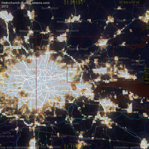
» Earth at Night: Flat Maps 2012, 2016