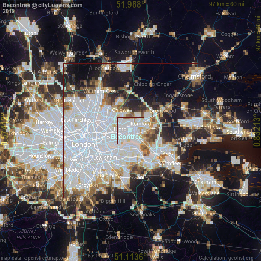
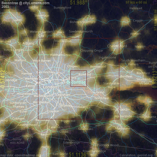
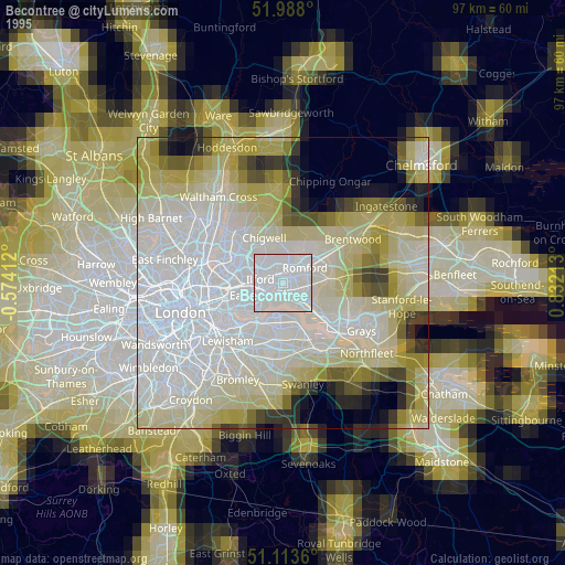
Becontree night lights from space
Night Light of Becontree (England) from space (United Kingdom) Src. Average luminocity for 10x10km area is 93.8743% and for 50x50km: 57.4613%.
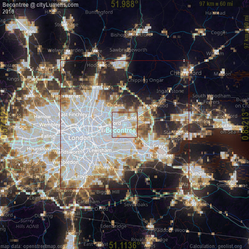
Analysis of Becontree night lights 2016
Square area 10x10 km:
 47.33%
90-99
29.55%80-89
10.43%70-79
7.89%60-69
3.34%50-59
1.47%40-49
0%30-39
0%20-29
0%10-19
0%0-9
0%Square area 50x50 km:
23.41%90-99
12.78%80-89
5.79%70-79
4.57%60-69
4.67%50-59
4.47%40-49
4.4%30-39
4.73%20-29
8.96%10-19
11.62%0-9
14.61%Clear (daylight) street map image can be seen on geolist.org.
Map coordinates:
51° 59' 16.8" North, 0° 34' 26.8" West
51° 33' 10.4" North, 0° 7' 44.4" East
51° 6' 49" North, 0° 49' 55.7" East
Some cities around Becontree sort by population:
• Dagenham
2.6 km =1.6 mi,  97°
97°
• Romford
4.6 km =2.9 mi,  57°
57°
• Barking
3.8 km =2.4 mi,  235°
235°
• Hornchurch
6.1 km =3.8 mi,  85°
85°
• Elm Park
5 km =3.1 mi, 94°
• Collier Row
5.7 km =3.5 mi,  26°
26°
• Chadwell Heath
2.1 km =1.3 mi,  7°
7°
• Hainault
6.3 km =3.9 mi,  346°
346°
6690870 (p: 100,000)
Sources (retrieved 2019-11-25):
» NASA, Earths city lights 1995
» NASA city lights 2003
» Earth at Night: Flat Maps 2012, 2016