Glossop night lights from space
Night Light of Glossop (England) from space (United Kingdom) Src. Average luminocity for 10x10km area is 16.1601% and for 50x50km: 26.9798%.
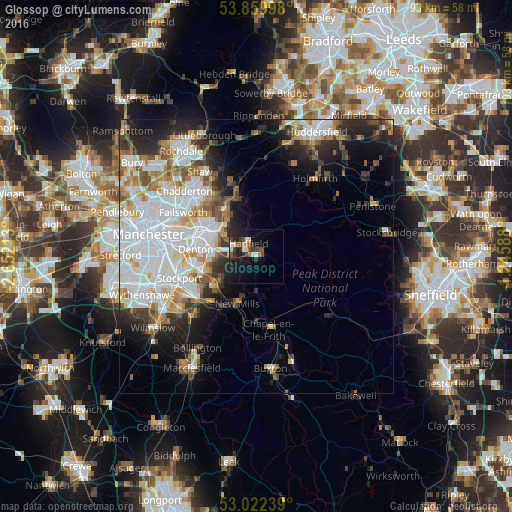
Analysis of Glossop night lights 2016
Square area 10x10 km:
 0.93%
0.93%90-99
2.51%80-89
2.65%70-79
0.26%60-69
1.32%50-59
2.51%40-49
3.84%30-39
3.7%20-29
5.82%10-19
16.8%0-9
59.66%Square area 50x50 km:
8.78%90-99
6.14%80-89
2.37%70-79
2.44%60-69
2.79%50-59
2.77%40-49
2.52%30-39
2.63%20-29
5.25%10-19
7.69%0-9
56.62%Clear (daylight) street map image can be seen on geolist.org.
Map coordinates:
53° 51' 35.9" North, 2° 39' 7.7" West
53° 26' 35.7" North, 1° 56' 56.4" West
53° 1' 20.6" North, 1° 14' 45.2" West
Some cities around Glossop sort by population:
• Hyde
8.7 km =5.4 mi,  275°
275°
• Stalybridge
8.6 km =5.3 mi,  301°
301°
• Dukinfield
9.9 km =6.2 mi,  290°
290°
• Marple
9.3 km =5.8 mi,  234°
234°
• New Mills
9.2 km =5.7 mi,  201°
201°
• Mossley
9.7 km =6 mi,  324°
324°
• Haughton Green
9.9 km =6.2 mi,  268°
268°
• Longdendale
4.3 km =2.7 mi,  307°
307°
2648405 (p: 33,243)
Sources (retrieved 2019-11-25):
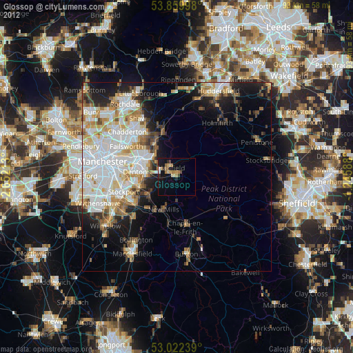
» Earth at Night: Flat Maps 2012, 2016