Westhill night lights from space
Night Light of Westhill (Scotland) from space (United Kingdom) Src. Average luminocity for 10x10km area is 21.006% and for 50x50km: 6.2695%.
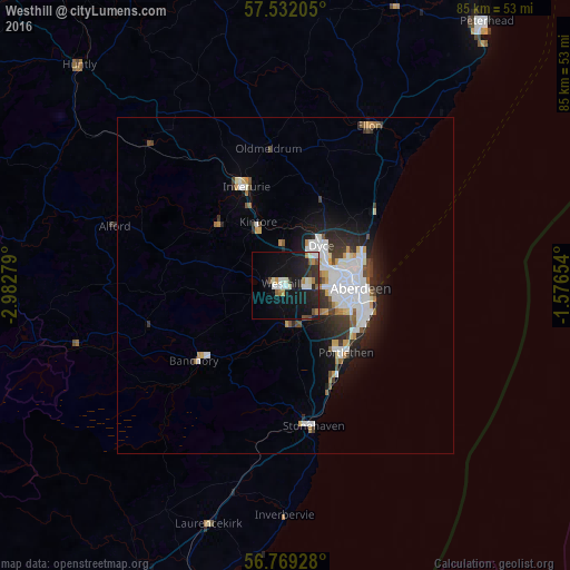
Analysis of Westhill night lights 2016
Square area 10x10 km:
 2.38%
2.38%90-99
5.83%80-89
0.36%70-79
1.67%60-69
2.14%50-59
1.67%40-49
1.9%30-39
2.26%20-29
8.93%10-19
25.83%0-9
47.02%Square area 50x50 km:
1.64%90-99
1.45%80-89
0.32%70-79
0.57%60-69
0.43%50-59
0.46%40-49
0.58%30-39
0.92%20-29
1.66%10-19
3.72%0-9
88.24%Clear (daylight) street map image can be seen on geolist.org.
Map coordinates:
57° 31' 55.4" North, 2° 58' 58" West
57° 9' 9.5" North, 2° 16' 46.8" West
56° 46' 9.4" North, 1° 34' 35.5" West
Some cities around Westhill sort by population:
• Aberdeen
11 km =6.8 mi,  95°
95°
• Inverurie
15.8 km =9.8 mi,  338°
338°
• Stonehaven
21.4 km =13.3 mi,  168°
168°
• Ellon
26.6 km =16.5 mi,  27°
27°
• Portlethen
12.8 km =8 mi,  136°
136°
• Banchory
16.9 km =10.5 mi,  228°
228°
• Cove
13.2 km =8.2 mi,  116°
116°
• Dyce
8.5 km =5.3 mi,  46°
46°
6640068 (p: 11,600)
Sources (retrieved 2019-11-25):
» Earth at Night: Flat Maps 2012, 2016