Dumbarton night lights from space
Night Light of Dumbarton (Scotland) from space (United Kingdom) Src. Average luminocity for 10x10km area is 22.4975% and for 50x50km: 18.0063%.
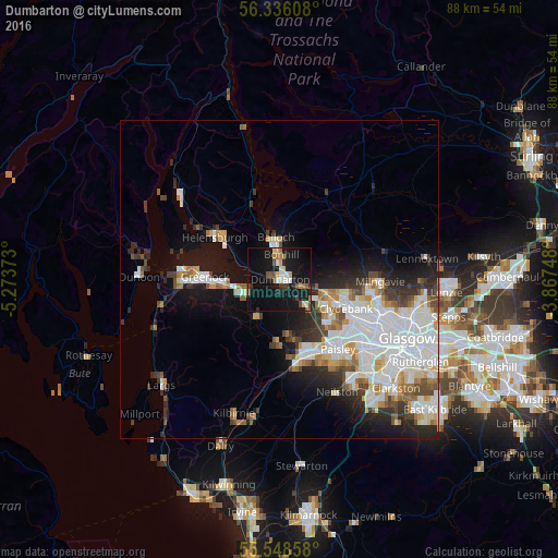
Analysis of Dumbarton night lights 2016
Square area 10x10 km:
 2.13%
2.13%90-99
2.88%80-89
2.88%70-79
1.75%60-69
3.13%50-59
2.01%40-49
3.26%30-39
2.51%20-29
3.01%10-19
39.47%0-9
36.97%Square area 50x50 km:
5.37%90-99
4.38%80-89
1.23%70-79
1.54%60-69
1.83%50-59
1.45%40-49
1.65%30-39
2.04%20-29
3.5%10-19
8.06%0-9
68.96%Clear (daylight) street map image can be seen on geolist.org.
Map coordinates:
56° 20' 9.9" North, 5° 16' 25.4" West
55° 56' 39.6" North, 4° 34' 14.2" West
55° 32' 54.9" North, 3° 52' 2.9" West
Some cities around Dumbarton sort by population:
• Clydebank
11.3 km =7 mi,  114°
114°
• Vale of Leven
3 km =1.9 mi,  349°
349°
• Erskine
8.9 km =5.5 mi,  123°
123°
• Port Glasgow
7.5 km =4.7 mi,  261°
261°
• Bonhill
3.9 km =2.4 mi,  6°
6°
• Duntocher
9.9 km =6.2 mi,  102°
102°
• Alexandria
5.6 km =3.5 mi, 349°
• Houston
8.5 km =5.3 mi,  172°
172°
2650802 (p: 19,950)
Sources (retrieved 2019-11-25):
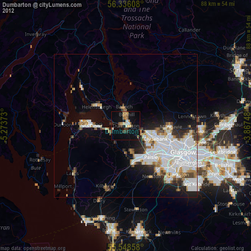
» Earth at Night: Flat Maps 2012, 2016