Clydebank night lights from space
Night Light of Clydebank (Scotland) from space (United Kingdom) Src. Average luminocity for 10x10km area is 75.6905% and for 50x50km: 24.8051%.
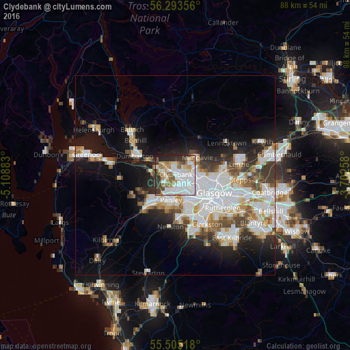
Analysis of Clydebank night lights 2016
Square area 10x10 km:
 30.95%
90-99
19.67%80-89
5.26%70-79
7.27%60-69
9.15%50-59
4.39%40-49
4.76%30-39
9.15%20-29
8.15%10-19
1.25%0-9
0%Square area 50x50 km:
7.13%90-99
6.3%80-89
1.84%70-79
2.34%60-69
2.52%50-59
2.2%40-49
2.4%30-39
2.87%20-29
4.49%10-19
9.98%0-9
57.93%Clear (daylight) street map image can be seen on geolist.org.
Map coordinates:
56° 17' 36.8" North, 5° 6' 31.8" West
55° 54' 4.9" North, 4° 24' 20.5" West
55° 30' 18.6" North, 3° 42' 9.3" West
Some cities around Clydebank sort by population:
• Paisley
7.9 km =4.9 mi,  192°
192°
• Bearsden
4.8 km =3 mi,  71°
71°
• Renfrew
3.4 km =2.1 mi,  165°
165°
• Erskine
2.8 km =1.7 mi,  268°
268°
• Milngavie
6.8 km =4.2 mi,  49°
49°
• Linwood
8 km =5 mi,  222°
222°
• Duntocher
2.6 km =1.6 mi,  346°
346°
• Faifley
3.3 km =2.1 mi,  23°
23°
2652730 (p: 26,640)
Sources (retrieved 2019-11-25):
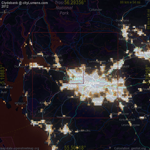
» Earth at Night: Flat Maps 2012, 2016