Houston night lights from space
Night Light of Houston (Scotland) from space (United Kingdom) Src. Average luminocity for 10x10km area is 26.4724% and for 50x50km: 19.9337%.
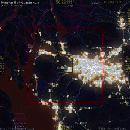
Analysis of Houston night lights 2016
Square area 10x10 km:
 3.76%
3.76%90-99
4.76%80-89
1.75%70-79
1.63%60-69
2.51%50-59
4.51%40-49
4.26%30-39
7.02%20-29
12.28%10-19
18.17%0-9
39.35%Square area 50x50 km:
5.72%90-99
4.85%80-89
1.39%70-79
1.7%60-69
1.99%50-59
1.61%40-49
1.88%30-39
2.17%20-29
3.67%10-19
9.66%0-9
65.36%Clear (daylight) street map image can be seen on geolist.org.
Map coordinates:
56° 15' 40" North, 5° 15' 18.5" West
55° 52' 6.9" North, 4° 33' 7.2" West
55° 28' 19.4" North, 3° 50' 56" West
Some cities around Houston sort by population:
• Paisley
8.5 km =5.3 mi,  118°
118°
• Clydebank
9.8 km =6.1 mi,  68°
68°
• Renfrew
10 km =6.2 mi,  87°
87°
• Dumbarton
8.5 km =5.3 mi,  352°
352°
• Johnstone
4.9 km =3 mi,  152°
152°
• Erskine
7.3 km =4.5 mi,  60°
60°
• Linwood
4.3 km =2.7 mi, 121°
• Elderslie
5.7 km =3.5 mi,  133°
133°
2646507 (p: 6,420)
Sources (retrieved 2019-11-25):
» Earth at Night: Flat Maps 2012, 2016