Vale of Leven night lights from space
Night Light of Vale of Leven (Scotland) from space (United Kingdom) Src. Average luminocity for 10x10km area is 23.5764% and for 50x50km: 17.1328%.
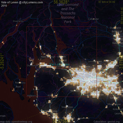
Analysis of Vale of Leven night lights 2016
Square area 10x10 km:
 2.88%
2.88%90-99
3.88%80-89
3.26%70-79
2.76%60-69
2.88%50-59
1.63%40-49
3.26%30-39
2.76%20-29
2.38%10-19
30.58%0-9
43.73%Square area 50x50 km:
5.21%90-99
4.18%80-89
1.17%70-79
1.47%60-69
1.72%50-59
1.37%40-49
1.54%30-39
1.98%20-29
3.16%10-19
7.36%0-9
70.85%Clear (daylight) street map image can be seen on geolist.org.
Map coordinates:
56° 21' 46.1" North, 5° 16' 56.7" West
55° 58' 16.8" North, 4° 34' 45.4" West
55° 34' 33" North, 3° 52' 34.2" West
Some cities around Vale of Leven sort by population:
• Dumbarton
3 km =1.9 mi,  169°
169°
• Erskine
11.2 km =7 mi,  134°
134°
• Port Glasgow
8 km =5 mi,  239°
239°
• Helensburgh
9.9 km =6.2 mi,  292°
292°
• Bonhill
1.3 km =0.8 mi,  46°
46°
• Duntocher
11.5 km =7.1 mi,  117°
117°
• Alexandria
2.5 km =1.6 mi,  349°
349°
• Houston
11.5 km =7.1 mi, 171°
11592272 (p: 24,640)
Sources (retrieved 2019-11-25):
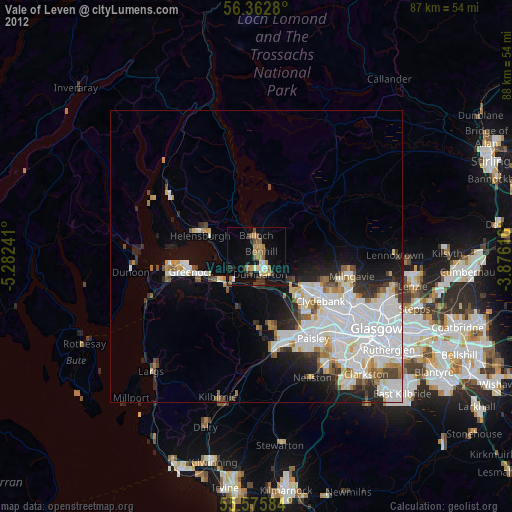
» Earth at Night: Flat Maps 2012, 2016