Cowes night lights from space
Night Light of Cowes (England) from space (United Kingdom) Src. Average luminocity for 10x10km area is 10.6303% and for 50x50km: 12.8308%.
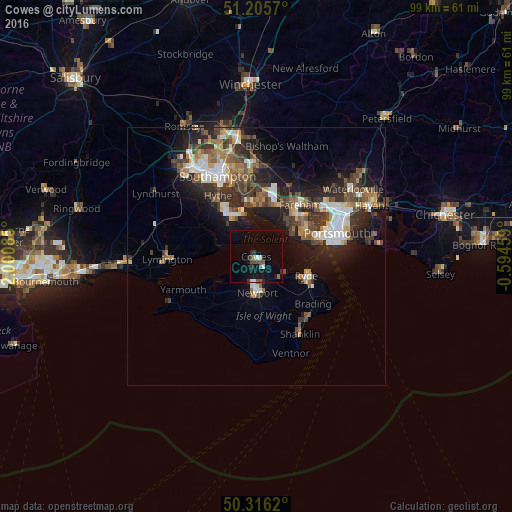
Analysis of Cowes night lights 2016
Square area 10x10 km:
 0.84%
0.84%90-99
0.84%80-89
0.56%70-79
0.56%60-69
0.42%50-59
2.1%40-49
2.52%30-39
0.84%20-29
2.24%10-19
8.26%0-9
80.81%Square area 50x50 km:
1.81%90-99
2.23%80-89
0.87%70-79
1.23%60-69
1.79%50-59
2.06%40-49
2.41%30-39
2.84%20-29
3.97%10-19
8.11%0-9
72.66%Clear (daylight) street map image can be seen on geolist.org.
Map coordinates:
51° 12' 20.5" North, 2° 0' 3.1" West
50° 45' 47" North, 1° 17' 51.8" West
50° 18' 58.3" North, 0° 35' 40.5" West
Some cities around Cowes sort by population:
• Gosport
12.4 km =7.7 mi,  73°
73°
• Fareham
12.9 km =8 mi,  40°
40°
• Ryde
10.2 km =6.3 mi,  111°
111°
• Newport
6.9 km =4.3 mi,  176°
176°
• Hythe
13 km =8.1 mi,  325°
325°
• Lee-on-the-Solent
8 km =5 mi,  57°
57°
• Netley
13.2 km =8.2 mi,  342°
342°
• East Cowes
0.9 km =0.6 mi,  131°
131°
2652204 (p: 21,226)
Sources (retrieved 2019-11-25):
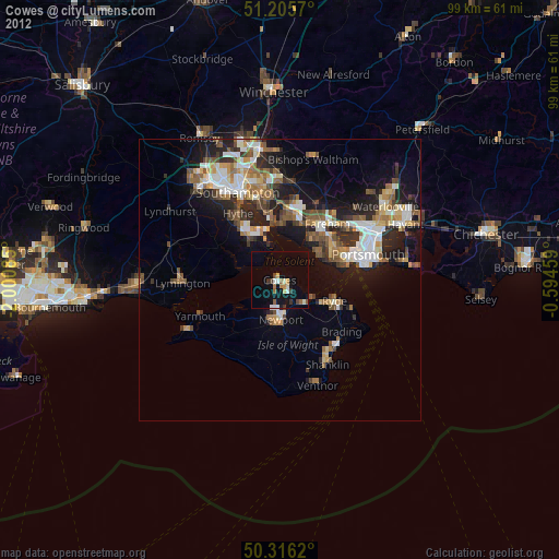
» Earth at Night: Flat Maps 2012, 2016