Newport night lights from space
Night Light of Newport (England) from space (United Kingdom) Src. Average luminocity for 10x10km area is 12.5441% and for 50x50km: 10.6953%.
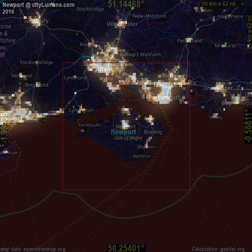
Analysis of Newport night lights 2016
Square area 10x10 km:
 2.01%
2.01%90-99
2.81%80-89
0.53%70-79
0%60-69
1.34%50-59
2.54%40-49
0.94%30-39
1.87%20-29
0.94%10-19
9.49%0-9
77.54%Square area 50x50 km:
1.64%90-99
1.94%80-89
0.61%70-79
0.99%60-69
1.35%50-59
1.63%40-49
1.95%30-39
2.39%20-29
3.22%10-19
7.17%0-9
77.1%Clear (daylight) street map image can be seen on geolist.org.
Map coordinates:
51° 8' 40.8" North, 1° 59' 39.7" West
50° 42' 5.3" North, 1° 17' 28.5" West
50° 15' 14.4" North, 0° 35' 17.2" West
Some cities around Newport sort by population:
• Gosport
15.4 km =9.6 mi,  47°
47°
• Ryde
9.6 km =6 mi,  70°
70°
• Cowes
6.9 km =4.3 mi,  356°
356°
• Sandown
10.7 km =6.6 mi,  121°
121°
• Shanklin
11.5 km =7.1 mi,  136°
136°
• Lee-on-the-Solent
12.8 km =8 mi,  29°
29°
• East Cowes
6.3 km =3.9 mi,  1°
1°
• Ventnor
13.3 km =8.3 mi,  153°
153°
2641599 (p: 24,884)
Sources (retrieved 2019-11-25):
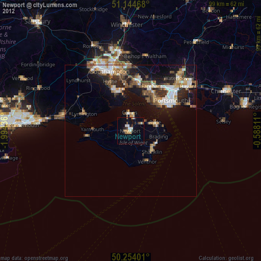
» Earth at Night: Flat Maps 2012, 2016