Coppull night lights from space
Night Light of Coppull (England) from space (United Kingdom) Src. Average luminocity for 10x10km area is 33.7854% and for 50x50km: 42.5405%.
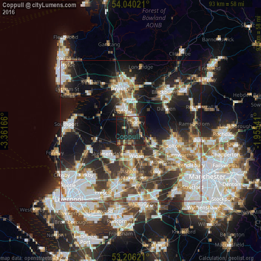
Analysis of Coppull night lights 2016
Square area 10x10 km:
 2.15%
2.15%90-99
3.66%80-89
2.4%70-79
3.28%60-69
7.07%50-59
3.91%40-49
7.45%30-39
5.81%20-29
28.54%10-19
32.58%0-9
3.16%Square area 50x50 km:
9.74%90-99
8.96%80-89
3.98%70-79
4.53%60-69
5.73%50-59
5.11%40-49
5.93%30-39
6.3%20-29
10.71%10-19
18.29%0-9
20.72%Clear (daylight) street map image can be seen on geolist.org.
Map coordinates:
54° 2' 24.8" North, 3° 21' 42" West
53° 37' 31" North, 2° 39' 30.7" West
53° 12' 22.4" North, 1° 57' 19.5" West
Some cities around Coppull sort by population:
• Chorley
3.9 km =2.4 mi,  45°
45°
• Horwich
7.7 km =4.8 mi,  110°
110°
• Clayton-le-Woods
8 km =5 mi,  355°
355°
• Adlington
3.7 km =2.3 mi, 111°
• Euxton
5.1 km =3.2 mi,  346°
346°
• Appley Bridge
6.7 km =4.2 mi,  217°
217°
• Shevington
6.3 km =3.9 mi,  201°
201°
• Blackrod
6.3 km =3.9 mi,  125°
125°
2652389 (p: 9,014)
Sources (retrieved 2019-11-25):
» Earth at Night: Flat Maps 2012, 2016