Caister-on-Sea night lights from space
Night Light of Caister-on-Sea (England) from space (United Kingdom) Src. Average luminocity for 10x10km area is 12.4114% and for 50x50km: 2.5992%.
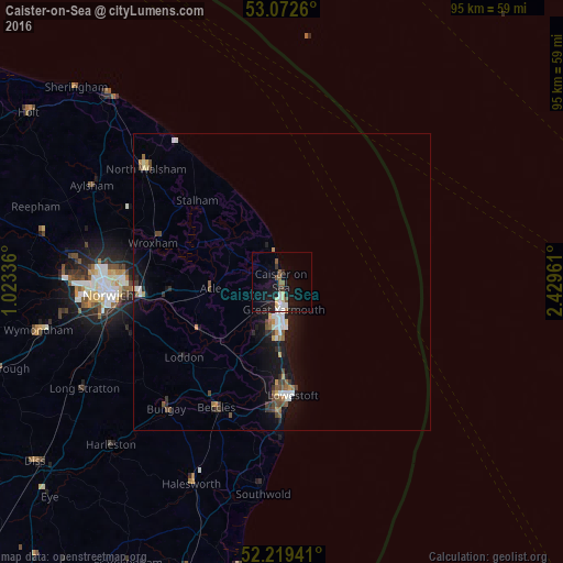
Analysis of Caister-on-Sea night lights 2016
Square area 10x10 km:
 1.46%
1.46%90-99
1.98%80-89
1.85%70-79
0.26%60-69
0.26%50-59
2.91%40-49
0.93%30-39
1.46%20-29
1.19%10-19
16.93%0-9
70.77%Square area 50x50 km:
0.35%90-99
0.36%80-89
0.19%70-79
0.26%60-69
0.23%50-59
0.41%40-49
0.5%30-39
0.34%20-29
0.41%10-19
2.66%0-9
94.29%Clear (daylight) street map image can be seen on geolist.org.
Map coordinates:
53° 4' 21.4" North, 1° 1' 24.1" East
52° 38' 53.1" North, 1° 43' 35.3" East
52° 13' 9.9" North, 2° 25' 46.6" East
Some cities around Caister-on-Sea sort by population:
• Lowestoft
19.3 km =12 mi,  174°
174°
• Great Yarmouth
4.4 km =2.7 mi,  176°
176°
• Beccles
23.7 km =14.7 mi,  207°
207°
• Bradwell
8.5 km =5.3 mi,  192°
192°
• Brundall
19.8 km =12.3 mi,  262°
262°
• Gorleston-on-Sea
8.4 km =5.2 mi, 178°
• Hemsby
5.9 km =3.7 mi,  336°
336°
• Poringland
27 km =16.8 mi,  250°
250°
2654044 (p: 8,901)
Sources (retrieved 2019-11-25):
» Earth at Night: Flat Maps 2012, 2016