Bursledon night lights from space
Night Light of Bursledon (England) from space (United Kingdom) Src. Average luminocity for 10x10km area is 47.7745% and for 50x50km: 13.3926%.
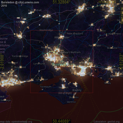
Analysis of Bursledon night lights 2016
Square area 10x10 km:
 4.48%
4.48%90-99
5.74%80-89
3.64%70-79
6.16%60-69
9.38%50-59
13.87%40-49
12.46%30-39
15.69%20-29
16.95%10-19
10.36%0-9
1.26%Square area 50x50 km:
1.83%90-99
2.27%80-89
0.9%70-79
1.26%60-69
1.83%50-59
2.14%40-49
2.48%30-39
3.03%20-29
4.22%10-19
8.9%0-9
71.15%Clear (daylight) street map image can be seen on geolist.org.
Map coordinates:
51° 19' 40.9" North, 2° 1' 8.7" West
50° 53' 11.7" North, 1° 18' 57.5" West
50° 26' 27.2" North, 0° 36' 46.2" West
Some cities around Bursledon sort by population:
• Southampton
6.5 km =4 mi,  287°
287°
• Fareham
10.3 km =6.4 mi,  112°
112°
• Eastleigh
9.2 km =5.7 mi,  345°
345°
• Hythe
6.7 km =4.2 mi,  243°
243°
• Hedge End
3.1 km =1.9 mi,  20°
20°
• Bishopstoke
8.9 km =5.5 mi, 354°
• Netley
2.9 km =1.8 mi,  246°
246°
• Marchwood
9.7 km =6 mi,  272°
272°
2654226 (p: 6,894)
Sources (retrieved 2019-11-25):
» Earth at Night: Flat Maps 2012, 2016