Bridgwater night lights from space
Night Light of Bridgwater (England) from space (United Kingdom) Src. Average luminocity for 10x10km area is 23.7406% and for 50x50km: 4.8942%.
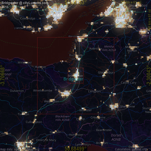
Analysis of Bridgwater night lights 2016
Square area 10x10 km:
 5.75%
5.75%90-99
6.02%80-89
0.8%70-79
1.87%60-69
0.94%50-59
2.54%40-49
2.14%30-39
0.8%20-29
1.6%10-19
31.68%0-9
45.86%Square area 50x50 km:
0.68%90-99
0.88%80-89
0.47%70-79
0.48%60-69
0.53%50-59
0.51%40-49
0.69%30-39
0.29%20-29
0.55%10-19
4.35%0-9
90.57%Clear (daylight) street map image can be seen on geolist.org.
Map coordinates:
51° 34' 3.1" North, 3° 42' 24" West
51° 7' 42.1" North, 3° 0' 12.8" West
50° 41' 6" North, 2° 18' 1.5" West
Some cities around Bridgwater sort by population:
• Weston-super-Mare
24.3 km =15.1 mi,  4°
4°
• Taunton
14.4 km =8.9 mi,  208°
208°
• Burnham-on-Sea
12.3 km =7.6 mi, 1°
• Street
18.4 km =11.4 mi,  91°
91°
• Wells
26.3 km =16.3 mi,  70°
70°
• Glastonbury
19.8 km =12.3 mi,  83°
83°
• Ilminster
23.3 km =14.5 mi,  163°
163°
• Cheddar
22.7 km =14.1 mi,  44°
44°
2654730 (p: 41,276)
Sources (retrieved 2019-11-25):
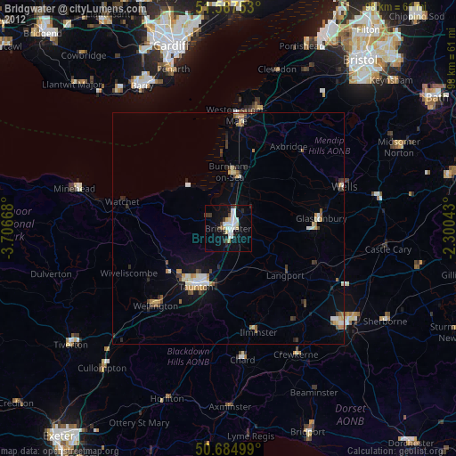
» Earth at Night: Flat Maps 2012, 2016