Bordon night lights from space
Night Light of Bordon (England) from space (United Kingdom) Src. Average luminocity for 10x10km area is 2.8556% and for 50x50km: 7.2185%.
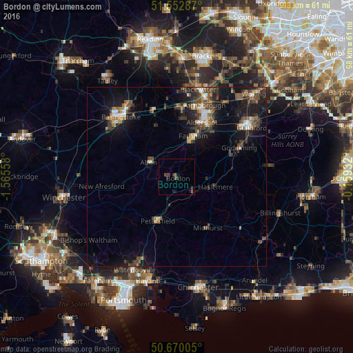
Analysis of Bordon night lights 2016
Square area 10x10 km:
 0%
0%90-99
0%80-89
0%70-79
0%60-69
0%50-59
1.6%40-49
0.53%30-39
2.67%20-29
0%10-19
2.27%0-9
92.91%Square area 50x50 km:
0.61%90-99
0.83%80-89
0.33%70-79
0.67%60-69
1.02%50-59
1.29%40-49
1.84%30-39
1.84%20-29
1.9%10-19
7.21%0-9
82.45%Clear (daylight) street map image can be seen on geolist.org.
Map coordinates:
51° 33' 10.3" North, 1° 33' 56.1" West
51° 6' 48.9" North, 0° 51' 44.8" West
50° 40' 12.2" North, 0° 9' 33.6" West
Some cities around Bordon sort by population:
• Farnham
12 km =7.5 mi,  21°
21°
• Alton
8.8 km =5.5 mi,  296°
296°
• Petersfield
13.1 km =8.1 mi,  202°
202°
• Haslemere
11.1 km =6.9 mi,  103°
103°
• Liphook
5.8 km =3.6 mi,  134°
134°
• Liss
8.1 km =5 mi,  194°
194°
• Hindhead
9 km =5.6 mi,  89°
89°
• Four Marks
13.1 km =8.1 mi,  266°
266°
6693242 (p: 20,978)
Sources (retrieved 2019-11-25):
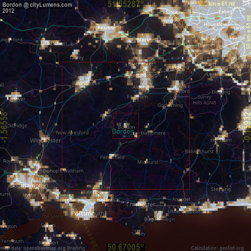
» Earth at Night: Flat Maps 2012, 2016