Liphook night lights from space
Night Light of Liphook (England) from space (United Kingdom) Src. Average luminocity for 10x10km area is 2.0989% and for 50x50km: 6.9728%.
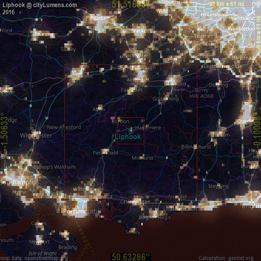
Analysis of Liphook night lights 2016
Square area 10x10 km:
 0%
0%90-99
0%80-89
0%70-79
0%60-69
0%50-59
1.6%40-49
0%30-39
1.74%20-29
0.4%10-19
1.74%0-9
94.52%Square area 50x50 km:
0.6%90-99
0.85%80-89
0.39%70-79
0.66%60-69
1.03%50-59
1.15%40-49
1.65%30-39
1.75%20-29
1.9%10-19
6.41%0-9
83.62%Clear (daylight) street map image can be seen on geolist.org.
Map coordinates:
51° 30' 59" North, 1° 30' 22.8" West
51° 4' 36.2" North, 0° 48' 11.5" West
50° 37' 58.3" North, 0° 6' 0.3" West
Some cities around Liphook sort by population:
• Bordon
5.8 km =3.6 mi,  314°
314°
• Alton
14.4 km =8.9 mi,  303°
303°
• Petersfield
12.1 km =7.5 mi,  228°
228°
• Haslemere
6.8 km =4.2 mi,  77°
77°
• Midhurst
11.1 km =6.9 mi,  156°
156°
• Witley
13.6 km =8.5 mi,  53°
53°
• Liss
7.3 km =4.5 mi,  238°
238°
• Hindhead
6.4 km =4 mi, 49°
2644419 (p: 6,480)
Sources (retrieved 2019-11-25):
» Earth at Night: Flat Maps 2012, 2016