Dunfermline night lights from space
Night Light of Dunfermline (Scotland) from space (United Kingdom) Src. Average luminocity for 10x10km area is 27.2644% and for 50x50km: 21.8464%.
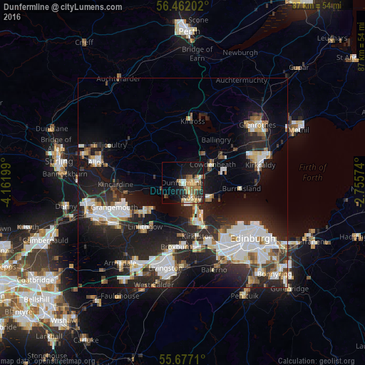
Analysis of Dunfermline night lights 2016
Square area 10x10 km:
 2.03%
2.03%90-99
3.95%80-89
4.07%70-79
5.98%60-69
5.62%50-59
4.43%40-49
2.27%30-39
2.03%20-29
6.94%10-19
21.65%0-9
41.03%Square area 50x50 km:
4.67%90-99
5.05%80-89
1.81%70-79
1.71%60-69
2.06%50-59
1.9%40-49
1.97%30-39
2.6%20-29
9.11%10-19
15.19%0-9
53.93%Clear (daylight) street map image can be seen on geolist.org.
Map coordinates:
56° 27' 43.3" North, 4° 9' 43.2" West
56° 4' 17.6" North, 3° 27' 31.9" West
55° 40' 37.6" North, 2° 45' 20.7" West
Some cities around Dunfermline sort by population:
• Bo’ness
11.5 km =7.1 mi,  238°
238°
• Rosyth
4.1 km =2.5 mi,  161°
161°
• Cowdenbeath
8.4 km =5.2 mi,  57°
57°
• Dalgety Bay
7.9 km =4.9 mi,  121°
121°
• Queensferry
9.7 km =6 mi, 157°
• Kelty
8.2 km =5.1 mi,  32°
32°
• Lochgelly
11.2 km =7 mi, 55°
• Inverkeithing
5.8 km =3.6 mi,  137°
137°
2650732 (p: 50,380)
Sources (retrieved 2019-11-25):
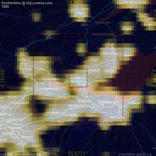
» NASA, Earths city lights 1995
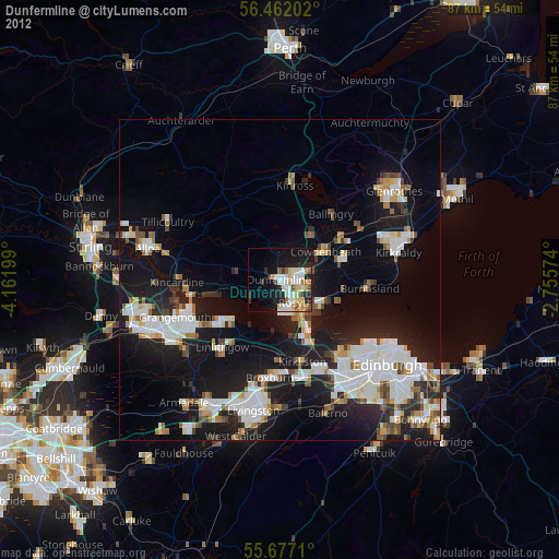
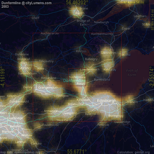
» NASA city lights 2003
» Earth at Night: Flat Maps 2012, 2016