Keighley night lights from space
Night Light of Keighley (England) from space (United Kingdom) Src. Average luminocity for 10x10km area is 28.4325% and for 50x50km: 25.2981%.
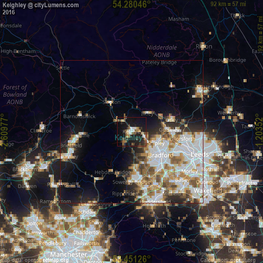

Analysis of Keighley night lights 2016
Square area 10x10 km:
 3.17%
3.17%90-99
3.84%80-89
2.91%70-79
1.19%60-69
2.38%50-59
7.14%40-49
4.63%30-39
4.1%20-29
10.19%10-19
41.4%0-9
19.05%Square area 50x50 km:
6.64%90-99
5.97%80-89
2.08%70-79
2.89%60-69
3.44%50-59
3.11%40-49
2.51%30-39
2.54%20-29
3.89%10-19
9.01%0-9
57.91%Clear (daylight) street map image can be seen on geolist.org.
Map coordinates:
54° 16' 49.7" North, 2° 36' 35.2" West
53° 52' 4.5" North, 1° 54' 23.9" West
53° 27' 4.5" North, 1° 12' 12.7" West
Some cities around Keighley sort by population:
• Bingley
5 km =3.1 mi,  115°
115°
• Baildon
8.1 km =5 mi,  106°
106°
• Ilkley
8.3 km =5.2 mi,  40°
40°
• Cross Hills
6.7 km =4.2 mi,  309°
309°
• Silsden
5.6 km =3.5 mi,  338°
338°
• Glusburn
7.1 km =4.4 mi,  300°
300°
• Haworth
5.1 km =3.2 mi,  212°
212°
• Wilsden
6.1 km =3.8 mi,  149°
149°
2645889 (p: 50,171)
Sources (retrieved 2019-11-25):
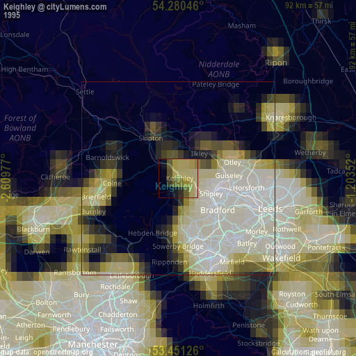
» NASA, Earths city lights 1995
» NASA city lights 2003
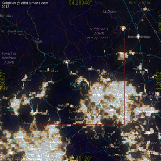
» Earth at Night: Flat Maps 2012, 2016