Basingstoke night lights from space
Night Light of Basingstoke (England) from space (United Kingdom) Src. Average luminocity for 10x10km area is 30.881% and for 50x50km: 12.0303%.
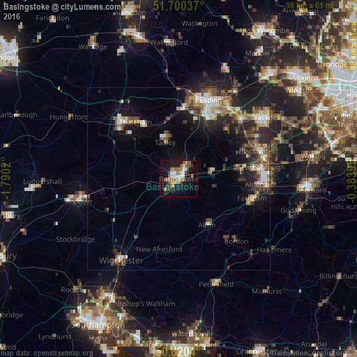

Analysis of Basingstoke night lights 2016
Square area 10x10 km:
 4.06%
4.06%90-99
4.76%80-89
1.96%70-79
3.92%60-69
8.4%50-59
5.04%40-49
2.38%30-39
4.2%20-29
4.62%10-19
30.11%0-9
30.53%Square area 50x50 km:
1.47%90-99
1.96%80-89
0.85%70-79
1.36%60-69
1.87%50-59
1.71%40-49
2.4%30-39
2.23%20-29
3.96%10-19
7.67%0-9
74.53%Clear (daylight) street map image can be seen on geolist.org.
Map coordinates:
51° 42' 1.3" North, 1° 47' 24.7" West
51° 15' 45" North, 1° 5' 13.5" West
50° 49' 13.4" North, 0° 23' 2.2" West
Some cities around Basingstoke sort by population:
• Fleet
17.8 km =11.1 mi,  82°
82°
• Thatcham
19.8 km =12.3 mi,  322°
322°
• Yateley
20 km =12.4 mi,  63°
63°
• Alton
14.8 km =9.2 mi,  148°
148°
• Tadley
10.2 km =6.3 mi,  343°
343°
• Calcot
20 km =12.4 mi,  7°
7°
• Hook
9.2 km =5.7 mi,  74°
74°
• Four Marks
17.4 km =10.8 mi,  171°
171°
2656192 (p: 107,642)
Sources (retrieved 2019-11-25):
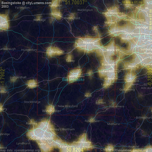
» NASA, Earths city lights 1995
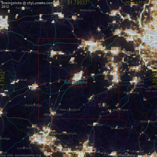
» NASA city lights 2003
» Earth at Night: Flat Maps 2012, 2016