Aylesbury night lights from space
Night Light of Aylesbury (England) from space (United Kingdom) Src. Average luminocity for 10x10km area is 27.5056% and for 50x50km: 13.7356%.
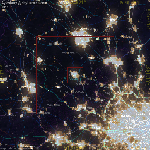
Analysis of Aylesbury night lights 2016
Square area 10x10 km:
 5.32%
5.32%90-99
5.32%80-89
3.08%70-79
2.94%60-69
3.36%50-59
1.4%40-49
1.12%30-39
3.22%20-29
2.24%10-19
39.78%0-9
32.21%Square area 50x50 km:
2.33%90-99
2.36%80-89
1.18%70-79
1.25%60-69
1.17%50-59
1.44%40-49
2.08%30-39
2.17%20-29
4.38%10-19
11.41%0-9
70.23%Clear (daylight) street map image can be seen on geolist.org.
Map coordinates:
52° 14' 57.2" North, 1° 31' 3.8" West
51° 48' 59.9" North, 0° 48' 52.5" West
51° 22' 47.6" North, 0° 6' 41.3" West
Some cities around Aylesbury sort by population:
• Leighton Buzzard
15.5 km =9.6 mi,  43°
43°
• Berkhamsted
18.3 km =11.4 mi,  110°
110°
• Tring
11 km =6.8 mi,  102°
102°
• Thame
13.5 km =8.4 mi,  235°
235°
• Princes Risborough
10.2 km =6.3 mi,  186°
186°
• Wendover
8 km =5 mi,  139°
139°
• Great Missenden
14.5 km =9 mi,  149°
149°
• Chinnor
14.4 km =8.9 mi,  207°
207°
2656719 (p: 74,748)
Sources (retrieved 2019-11-25):
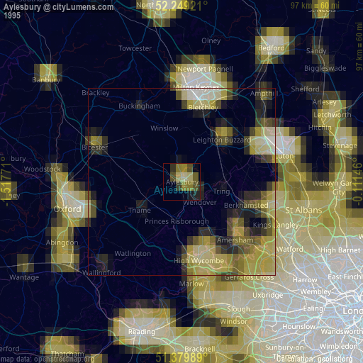
» NASA, Earths city lights 1995
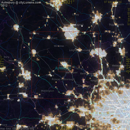
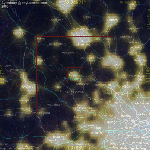
» NASA city lights 2003
» Earth at Night: Flat Maps 2012, 2016