Archway night lights from space
Night Light of Archway (England) from space (United Kingdom) Src. Average luminocity for 10x10km area is 98.9666% and for 50x50km: 70.8447%.
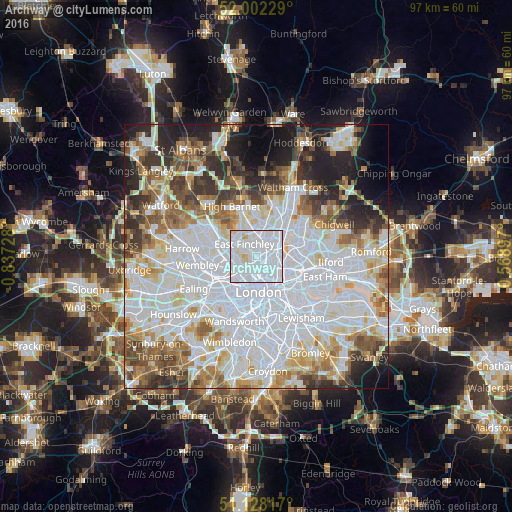
Analysis of Archway night lights 2016
Square area 10x10 km:
 75.53%
90-99
20.05%80-89
3.74%70-79
0.67%60-69
0%50-59
0%40-49
0%30-39
0%20-29
0%10-19
0%0-9
0%Square area 50x50 km:
29.13%90-99
17.71%80-89
7%70-79
5.43%60-69
6.56%50-59
6.23%40-49
4.87%30-39
5.44%20-29
6.95%10-19
6.7%0-9
3.96%Clear (daylight) street map image can be seen on geolist.org.
Map coordinates:
52° 0' 8.2" North, 0° 50' 14.2" West
51° 34' 2.4" North, 0° 8' 2.9" West
51° 7' 41.4" North, 0° 34' 8.3" East
Some cities around Archway sort by population:
• Islington
4.1 km =2.5 mi,  148°
148°
• Holloway
1.8 km =1.1 mi,  159°
159°
• Camden Town
3 km =1.9 mi,  192°
192°
• Harringay
2.9 km =1.8 mi,  54°
54°
• Belsize Park
3.4 km =2.1 mi,  230°
230°
• West End of London
6.1 km =3.8 mi, 193°
• Crouch End
1.6 km =1 mi,  27°
27°
• Barnsbury
3.2 km =2 mi, 157°
11777624 (p: 215,667)
Sources (retrieved 2019-11-25):
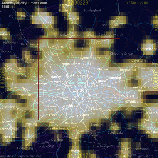
» NASA, Earths city lights 1995
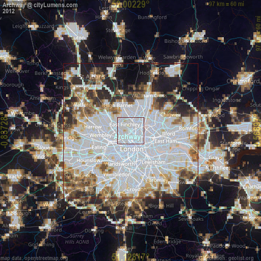
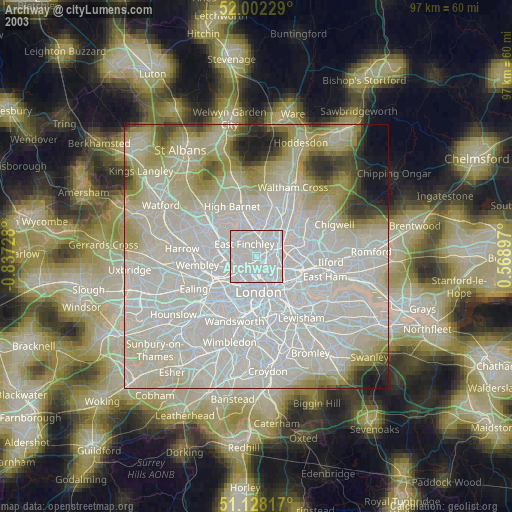
» NASA city lights 2003
» Earth at Night: Flat Maps 2012, 2016