Villerupt night lights from space
Night Light of Villerupt (Grand Est) from space (France) Src. Average luminocity for 10x10km area is 35.563% and for 50x50km: 26.1057%.
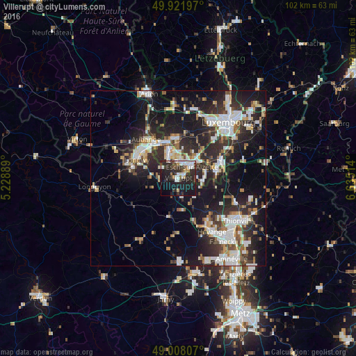
Analysis of Villerupt night lights 2016
Square area 10x10 km:
 7.28%
7.28%90-99
7.7%80-89
1.68%70-79
1.4%60-69
2.1%50-59
2.38%40-49
6.02%30-39
6.72%20-29
23.11%10-19
31.51%0-9
10.08%Square area 50x50 km:
5.2%90-99
5.44%80-89
2.51%70-79
2.16%60-69
2.17%50-59
2.71%40-49
3.02%30-39
4.34%20-29
10.66%10-19
18.42%0-9
43.37%Clear (daylight) street map image can be seen on geolist.org.
Map coordinates:
49° 55' 19.1" North, 5° 13' 44" East
49° 28' 1.7" North, 5° 55' 55.3" East
49° 0' 29.1" North, 6° 38' 6.5" East
Some cities around Villerupt sort by population:
• Esch-sur-Alzette, LU
4.7 km =2.9 mi,  47°
47°
• Dudelange, LU
11.3 km =7 mi,  82°
82°
• Schifflange, LU
7.3 km =4.5 mi, 53°
• Bettembourg, LU
13.6 km =8.5 mi,  65°
65°
• Pétange, LU
10.8 km =6.7 mi,  339°
339°
• Audun-le-Tiche
1.8 km =1.1 mi, 71°
• Belvaux, LU
4.8 km =3 mi,  353°
353°
• Differdange, LU
7 km =4.3 mi, 335°
2968316 (p: 9,763)
Sources (retrieved 2019-11-25):
» Earth at Night: Flat Maps 2012, 2016