Vierzon night lights from space
Night Light of Vierzon (Centre) from space (France) Src. Average luminocity for 10x10km area is 26.9107% and for 50x50km: 5.533%.
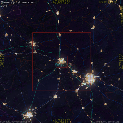
Analysis of Vierzon night lights 2016
Square area 10x10 km:
 2.23%
2.23%90-99
2.53%80-89
2.38%70-79
4.76%60-69
6.4%50-59
5.21%40-49
5.21%30-39
2.68%20-29
2.53%10-19
29.02%0-9
37.05%Square area 50x50 km:
0.72%90-99
0.86%80-89
0.46%70-79
0.7%60-69
0.71%50-59
0.85%40-49
0.82%30-39
0.67%20-29
1.34%10-19
3.84%0-9
89.04%Clear (daylight) street map image can be seen on geolist.org.
Map coordinates:
47° 41' 50.1" North, 1° 21' 55" East
47° 13' 18.7" North, 2° 4' 6.2" East
46° 44' 31.8" North, 2° 46' 17.5" East
Some cities around Vierzon sort by population:
• Bourges
29.4 km =18.3 mi,  121°
121°
• Romorantin-Lanthenay
28.9 km =18 mi,  303°
303°
• Issoudun
30.9 km =19.2 mi,  190°
190°
• Saint-Doulchard
25.1 km =15.6 mi, 121°
• Mehun-sur-Yèvre
14.3 km =8.9 mi,  130°
130°
• Saint-Florent-sur-Cher
28.7 km =17.8 mi,  151°
151°
• Salbris
22.5 km =14 mi,  356°
356°
• Saint-Germain-du-Puy
34.2 km =21.3 mi,  113°
113°
2969257 (p: 29,876)
Sources (retrieved 2019-11-25):
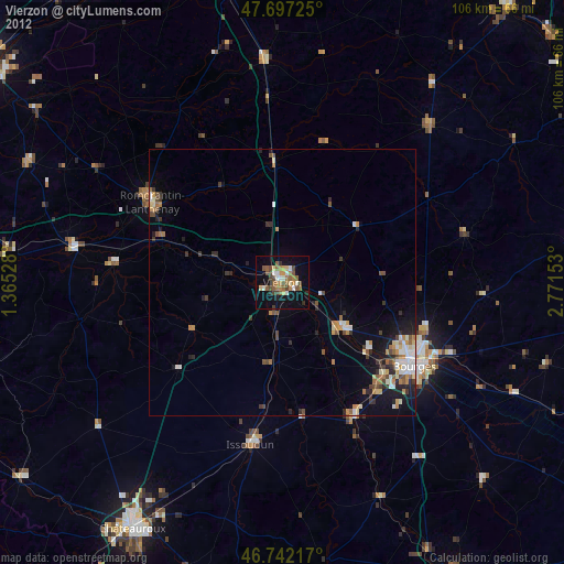
» Earth at Night: Flat Maps 2012, 2016