Riom night lights from space
Night Light of Riom (Auvergne-Rhône-Alpes) from space (France) Src. Average luminocity for 10x10km area is 26.0074% and for 50x50km: 7.9118%.
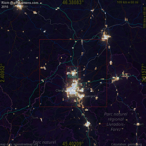
Analysis of Riom night lights 2016
Square area 10x10 km:
 2.98%
2.98%90-99
4.76%80-89
1.64%70-79
2.38%60-69
3.72%50-59
2.53%40-49
2.08%30-39
2.98%20-29
15.77%10-19
30.21%0-9
30.95%Square area 50x50 km:
1.38%90-99
1.57%80-89
0.61%70-79
0.62%60-69
0.92%50-59
1.15%40-49
1.01%30-39
1.36%20-29
2.62%10-19
4.95%0-9
83.81%Clear (daylight) street map image can be seen on geolist.org.
Map coordinates:
46° 22' 51" North, 2° 24' 34.3" East
45° 53' 37" North, 3° 6' 45.5" East
45° 24' 7.5" North, 3° 48' 56.8" East
Some cities around Riom sort by population:
• Clermont-Ferrand
12.8 km =8 mi,  188°
188°
• Chamalières
13.8 km =8.6 mi, 194°
• Beaumont
16 km =9.9 mi, 188°
• Aubière
15.9 km =9.9 mi,  180°
180°
• Pont-du-Château
14.9 km =9.3 mi,  135°
135°
• Gerzat
7.9 km =4.9 mi,  161°
161°
• Cébazat
7 km =4.3 mi, 188°
• Châtel-Guyon
4.9 km =3 mi,  310°
310°
2983489 (p: 20,142)
Sources (retrieved 2019-11-25):
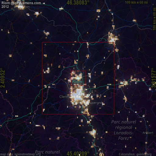
» Earth at Night: Flat Maps 2012, 2016