Vauréal night lights from space
Night Light of Vauréal (Île-de-France) from space (France) Src. Average luminocity for 10x10km area is 72.5655% and for 50x50km: 42.1062%.
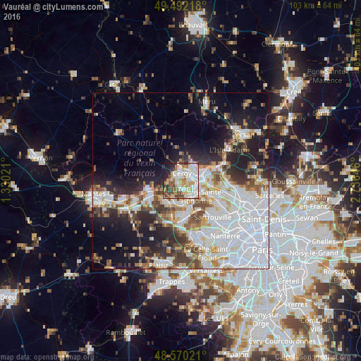
Analysis of Vauréal night lights 2016
Square area 10x10 km:
 20.54%
90-99
21.73%80-89
7.29%70-79
10.71%60-69
8.78%50-59
5.51%40-49
8.93%30-39
4.02%20-29
8.04%10-19
4.32%0-9
0.15%Square area 50x50 km:
15.65%90-99
8.76%80-89
3.35%70-79
3.6%60-69
3.91%50-59
3.68%40-49
4.72%30-39
3.83%20-29
7.83%10-19
12%0-9
32.67%Clear (daylight) street map image can be seen on geolist.org.
Map coordinates:
49° 29' 31.8" North, 1° 19' 48.8" East
49° 1' 60" North, 2° 1' 60" East
48° 34' 12.8" North, 2° 44' 11.3" East
Some cities around Vauréal sort by population:
• Cergy-Pontoise
3.3 km =2.1 mi,  79°
79°
• Cergy
3.1 km =1.9 mi, 83°
• Pontoise
5.2 km =3.2 mi,  69°
69°
• Jouy-le-Moutier
2.6 km =1.6 mi,  168°
168°
• Osny
4.6 km =2.9 mi,  27°
27°
• Éragny
5.2 km =3.2 mi,  110°
110°
• Courdimanche
2.4 km =1.5 mi,  274°
274°
• Menucourt
3.9 km =2.4 mi,  261°
261°
2970432 (p: 20,699)
Sources (retrieved 2019-11-25):
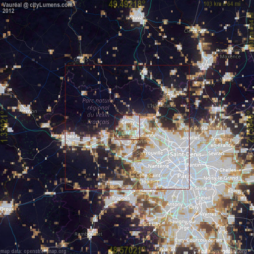
» Earth at Night: Flat Maps 2012, 2016