Thiais night lights from space
Night Light of Thiais (Île-de-France) from space (France) Src. Average luminocity for 10x10km area is 98.8722% and for 50x50km: 72.7455%.
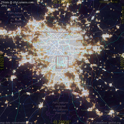
Analysis of Thiais night lights 2016
Square area 10x10 km:
 79.69%
90-99
15.34%80-89
4.97%70-79
0%60-69
0%50-59
0%40-49
0%30-39
0%20-29
0%10-19
0%0-9
0%Square area 50x50 km:
34.44%90-99
18.03%80-89
4.96%70-79
4.98%60-69
5.69%50-59
4.54%40-49
5.51%30-39
5.15%20-29
5.8%10-19
5.79%0-9
5.12%Clear (daylight) street map image can be seen on geolist.org.
Map coordinates:
49° 13' 34.6" North, 1° 41' 34.7" East
48° 45' 53.9" North, 2° 23' 46" East
48° 17' 57.7" North, 3° 5' 57.2" East
Some cities around Thiais sort by population:
• Vitry-sur-Seine
2.5 km =1.6 mi,  12°
12°
• Villejuif
4.2 km =2.6 mi,  320°
320°
• Choisy-le-Roi
1.7 km =1.1 mi,  76°
76°
• Orly
1.9 km =1.2 mi,  187°
187°
• Chevilly-Larue
3.4 km =2.1 mi,  269°
269°
• Villeneuve-le-Roi
3.1 km =1.9 mi,  173°
173°
• Rungis
3.8 km =2.4 mi,  236°
236°
• Ablon-sur-Seine
4.8 km =3 mi,  151°
151°
2972893 (p: 29,724)
Sources (retrieved 2019-11-25):
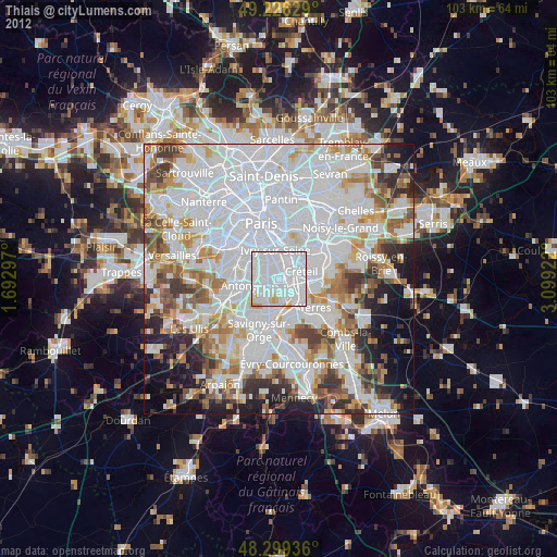
» Earth at Night: Flat Maps 2012, 2016