Pau night lights from space
Night Light of Pau (Nouvelle-Aquitaine) from space (France) Src. Average luminocity for 10x10km area is 65.0515% and for 50x50km: 8.2113%.
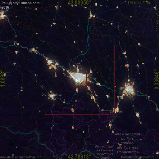
Analysis of Pau night lights 2016
Square area 10x10 km:
 20.76%
90-99
19.39%80-89
7.12%70-79
5.15%60-69
3.64%50-59
3.03%40-49
6.97%30-39
7.73%20-29
18.64%10-19
7.42%0-9
0.15%Square area 50x50 km:
1.13%90-99
1.45%80-89
0.74%70-79
0.59%60-69
0.95%50-59
1.14%40-49
1.24%30-39
1.4%20-29
2.83%10-19
5.16%0-9
83.35%Clear (daylight) street map image can be seen on geolist.org.
Map coordinates:
43° 48' 34.4" North, 1° 4' 11.3" West
43° 18' 0" North, 0° 22' 0" West
42° 47' 10.1" North, 0° 20' 11.3" East
Some cities around Pau sort by population:
• Billère
2.7 km =1.7 mi,  270°
270°
• Lons
3.3 km =2.1 mi,  304°
304°
• Oloron-Sainte-Marie
23 km =14.3 mi,  239°
239°
• Lescar
5.5 km =3.4 mi,  312°
312°
• Mourenx
21 km =13 mi, 296°
• Jurançon
2.1 km =1.3 mi,  231°
231°
• Gan
7.5 km =4.7 mi,  190°
190°
• Bizanos
2.3 km =1.4 mi,  143°
143°
2988358 (p: 82,697)
Sources (retrieved 2019-11-25):
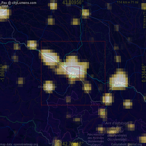
» NASA, Earths city lights 1995
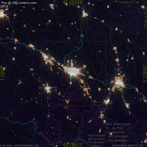
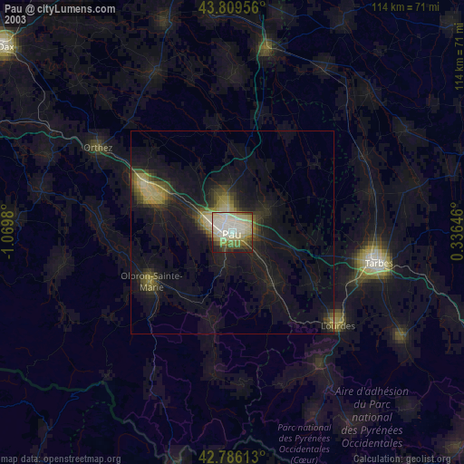
» NASA city lights 2003
» Earth at Night: Flat Maps 2012, 2016