Eckbolsheim night lights from space
Night Light of Eckbolsheim (Grand Est) from space (France) Src. Average luminocity for 10x10km area is 75.4568% and for 50x50km: 22.8688%.
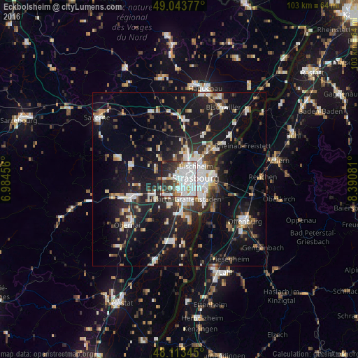
Analysis of Eckbolsheim night lights 2016
Square area 10x10 km:
 36.31%
90-99
21.73%80-89
3.87%70-79
3.87%60-69
2.68%50-59
1.64%40-49
5.21%30-39
9.67%20-29
12.05%10-19
2.98%0-9
0%Square area 50x50 km:
4.79%90-99
4.44%80-89
1.78%70-79
1.68%60-69
1.94%50-59
2.17%40-49
2.42%30-39
3.45%20-29
6.33%10-19
21.17%0-9
49.85%Clear (daylight) street map image can be seen on geolist.org.
Map coordinates:
49° 2' 37.6" North, 6° 59' 4.4" East
48° 34' 50.7" North, 7° 41' 15.6" East
48° 6' 48.4" North, 8° 23' 26.9" East
Some cities around Eckbolsheim sort by population:
• Strasbourg
4.3 km =2.7 mi,  85°
85°
• Schiltigheim
5.4 km =3.4 mi,  56°
56°
• Illkirch-Graffenstaden
6.1 km =3.8 mi,  160°
160°
• Bischheim
6.2 km =3.9 mi,  50°
50°
• Lingolsheim
2.6 km =1.6 mi,  188°
188°
• Ostwald
4.5 km =2.8 mi, 157°
• Hœnheim
6.8 km =4.2 mi, 47°
• Mundolsheim
7.1 km =4.4 mi,  15°
15°
3020489 (p: 6,253)
Sources (retrieved 2019-11-25):
» Earth at Night: Flat Maps 2012, 2016