Sartrouville night lights from space
Night Light of Sartrouville (Île-de-France) from space (France) Src. Average luminocity for 10x10km area is 94.5185% and for 50x50km: 63.9601%.
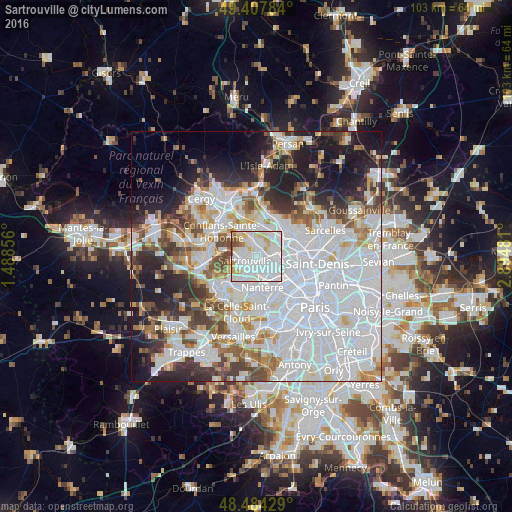
Analysis of Sartrouville night lights 2016
Square area 10x10 km:
 51.99%
90-99
29.83%80-89
8.81%70-79
4.26%60-69
1.56%50-59
1.99%40-49
1.56%30-39
0%20-29
0%10-19
0%0-9
0%Square area 50x50 km:
29.83%90-99
14.08%80-89
4.53%70-79
4.37%60-69
4.93%50-59
4.39%40-49
5.41%30-39
5.02%20-29
7.51%10-19
11.08%0-9
8.86%Clear (daylight) street map image can be seen on geolist.org.
Map coordinates:
49° 24' 28.2" North, 1° 29' 18.8" East
48° 56' 53.5" North, 2° 11' 30.1" East
48° 29' 3.4" North, 2° 53' 41.3" East
Some cities around Sartrouville sort by population:
• Argenteuil
4.1 km =2.5 mi,  90°
90°
• Houilles
3 km =1.9 mi,  178°
178°
• Bezons
3.1 km =1.9 mi,  149°
149°
• Sannois
4.7 km =2.9 mi,  64°
64°
• Maisons-Laffitte
3.4 km =2.1 mi,  278°
278°
• Cormeilles-en-Parisis
2.7 km =1.7 mi,  20°
20°
• Montigny-lès-Cormeilles
3.8 km =2.4 mi,  9°
9°
• Carrières-sur-Seine
4.7 km =2.9 mi,  191°
191°
2975921 (p: 53,980)
Sources (retrieved 2019-11-25):
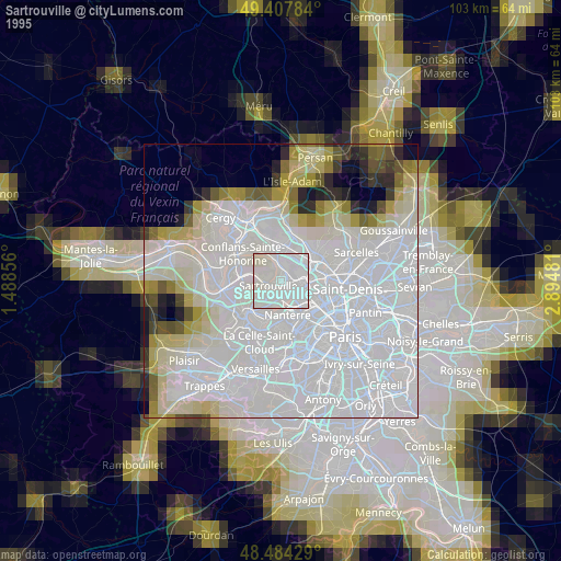
» NASA, Earths city lights 1995
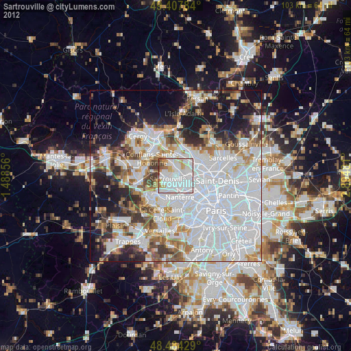
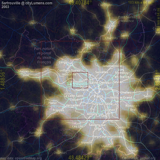
» NASA city lights 2003
» Earth at Night: Flat Maps 2012, 2016