Sannois night lights from space
Night Light of Sannois (Île-de-France) from space (France) Src. Average luminocity for 10x10km area is 97.9858% and for 50x50km: 65.9863%.
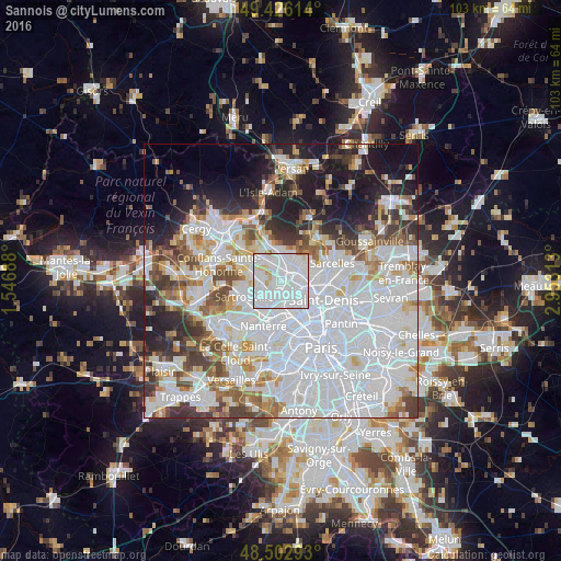
Analysis of Sannois night lights 2016
Square area 10x10 km:
 67.19%
90-99
25.85%80-89
4.12%70-79
1.99%60-69
0.85%50-59
0%40-49
0%30-39
0%20-29
0%10-19
0%0-9
0%Square area 50x50 km:
31.17%90-99
15.13%80-89
4.71%70-79
4.25%60-69
4.93%50-59
4.52%40-49
5.04%30-39
5%20-29
6.74%10-19
10.17%0-9
8.35%Clear (daylight) street map image can be seen on geolist.org.
Map coordinates:
49° 25' 34.1" North, 1° 32' 48.8" East
48° 58' 0" North, 2° 15' 0" East
48° 30' 10.5" North, 2° 57' 11.3" East
Some cities around Sannois sort by population:
• Argenteuil
2.1 km =1.3 mi,  185°
185°
• Franconville
2.2 km =1.4 mi,  326°
326°
• Ermont
2.7 km =1.7 mi,  12°
12°
• Eaubonne
4.1 km =2.5 mi,  35°
35°
• Cormeilles-en-Parisis
3.3 km =2.1 mi,  278°
278°
• Saint-Gratien
2.8 km =1.7 mi,  74°
74°
• Montigny-lès-Cormeilles
4 km =2.5 mi,  295°
295°
• Le Plessis-Bouchard
3.9 km =2.4 mi,  341°
341°
2976179 (p: 26,869)
Sources (retrieved 2019-11-25):
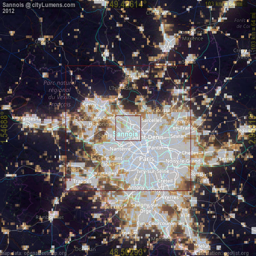
» Earth at Night: Flat Maps 2012, 2016