Maisons-Laffitte night lights from space
Night Light of Maisons-Laffitte (Île-de-France) from space (France) Src. Average luminocity for 10x10km area is 83.3707% and for 50x50km: 59.6234%.
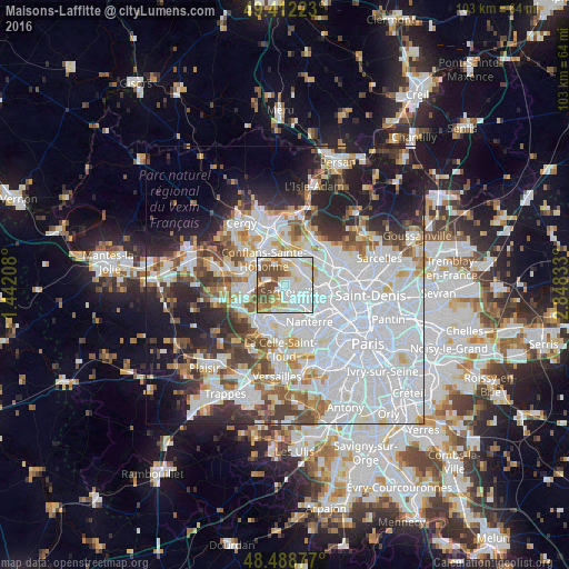
Analysis of Maisons-Laffitte night lights 2016
Square area 10x10 km:
 30.54%
90-99
25.99%80-89
9.38%70-79
7.24%60-69
6.25%50-59
7.95%40-49
12.64%30-39
0%20-29
0%10-19
0%0-9
0%Square area 50x50 km:
26.45%90-99
13.29%80-89
4.31%70-79
4.13%60-69
4.89%50-59
4.26%40-49
5.36%30-39
4.97%20-29
7.85%10-19
11.97%0-9
12.51%Clear (daylight) street map image can be seen on geolist.org.
Map coordinates:
49° 24' 44" North, 1° 26' 31.5" East
48° 57' 9.5" North, 2° 8' 42.8" East
48° 29' 19.6" North, 2° 50' 54" East
Some cities around Maisons-Laffitte sort by population:
• Sartrouville
3.4 km =2.1 mi,  98°
98°
• Houilles
4.9 km =3 mi,  134°
134°
• Herblay
4.5 km =2.8 mi,  23°
23°
• Cormeilles-en-Parisis
4.8 km =3 mi,  64°
64°
• Montigny-lès-Cormeilles
5.2 km =3.2 mi,  50°
50°
• Montesson
4.9 km =3 mi,  186°
186°
• Carrières-sur-Seine
5.7 km =3.5 mi,  153°
153°
• Le Mesnil-le-Roi
2.2 km =1.4 mi,  221°
221°
2996564 (p: 22,772)
Sources (retrieved 2019-11-25):
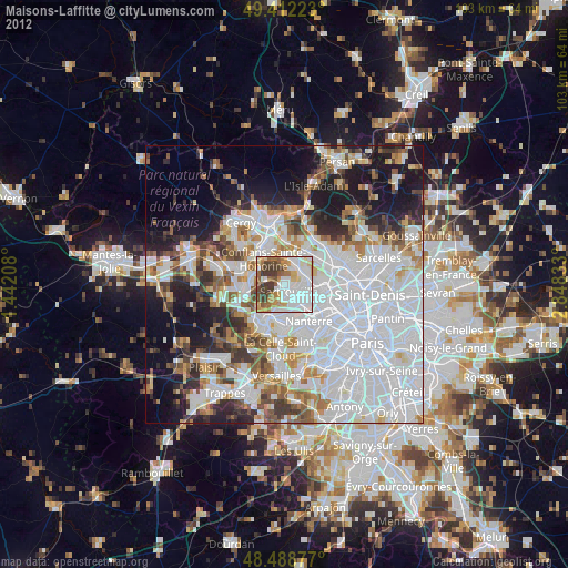
» Earth at Night: Flat Maps 2012, 2016