Houilles night lights from space
Night Light of Houilles (Île-de-France) from space (France) Src. Average luminocity for 10x10km area is 97.1861% and for 50x50km: 66.4754%.
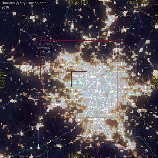
Analysis of Houilles night lights 2016
Square area 10x10 km:
 61.36%
90-99
30.11%80-89
3.98%70-79
2.7%60-69
0.43%50-59
0.43%40-49
0.99%30-39
0%20-29
0%10-19
0%0-9
0%Square area 50x50 km:
31.03%90-99
15.12%80-89
4.77%70-79
4.44%60-69
5.12%50-59
4.43%40-49
5.36%30-39
5.1%20-29
7.32%10-19
10.77%0-9
6.55%Clear (daylight) street map image can be seen on geolist.org.
Map coordinates:
49° 22' 53.4" North, 1° 29' 22.2" East
48° 55' 17.8" North, 2° 11' 33.5" East
48° 27' 26.8" North, 2° 53' 44.7" East
Some cities around Houilles sort by population:
• Nanterre
3.5 km =2.2 mi,  162°
162°
• Colombes
4.5 km =2.8 mi,  93°
93°
• Sartrouville
3 km =1.9 mi,  358°
358°
• Chatou
4.3 km =2.7 mi,  215°
215°
• Bezons
1.5 km =0.9 mi,  78°
78°
• La Garenne-Colombes
4.4 km =2.7 mi,  115°
115°
• Montesson
4.3 km =2.7 mi,  251°
251°
• Carrières-sur-Seine
1.9 km =1.2 mi,  210°
210°
3013097 (p: 31,121)
Sources (retrieved 2019-11-25):
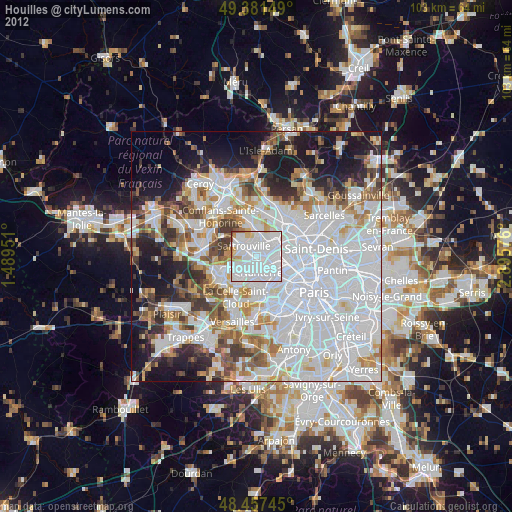
» Earth at Night: Flat Maps 2012, 2016