Saint-Tronc night lights from space
Night Light of Saint-Tronc (Provence-Alpes-Côte d'Azur) from space (France) Src. Average luminocity for 10x10km area is 78.6152% and for 50x50km: 26.2275%.
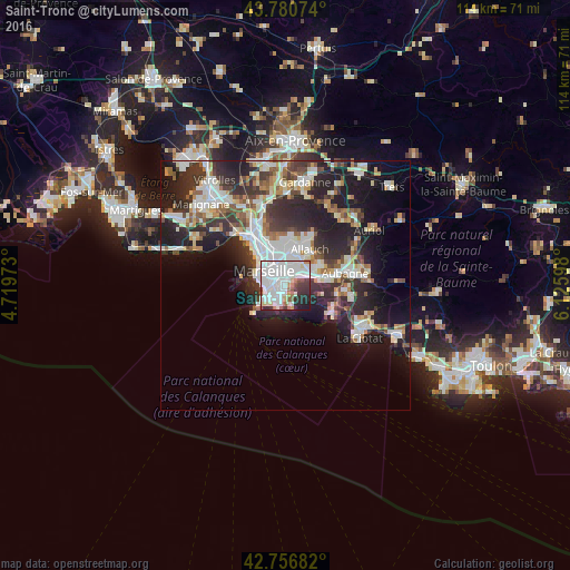
Analysis of Saint-Tronc night lights 2016
Square area 10x10 km:
 39.85%
90-99
22.27%80-89
4.7%70-79
1.06%60-69
5.3%50-59
4.7%40-49
1.67%30-39
7.88%20-29
8.48%10-19
4.09%0-9
0%Square area 50x50 km:
5.97%90-99
5.72%80-89
2.63%70-79
1.93%60-69
2.69%50-59
2.68%40-49
3.07%30-39
4.97%20-29
9.38%10-19
13.05%0-9
47.91%Clear (daylight) street map image can be seen on geolist.org.
Map coordinates:
43° 46' 50.7" North, 4° 43' 11" East
43° 16' 15.3" North, 5° 25' 22.3" East
42° 45' 24.6" North, 6° 7' 33.5" East
Some cities around Saint-Tronc sort by population:
• Marseille 09
2.3 km =1.4 mi,  216°
216°
• Marseille 11
2.5 km =1.6 mi,  29°
29°
• Marseille 10
1.1 km =0.7 mi,  325°
325°
• La Pomme
2.6 km =1.6 mi,  35°
35°
• Le Cabot
1.4 km =0.9 mi,  198°
198°
• La Capelette
1.8 km =1.1 mi,  308°
308°
• La Panouse
1.8 km =1.1 mi,  161°
161°
• La Timone
2.1 km =1.3 mi,  340°
340°
11919766 (p: 14,372)
Sources (retrieved 2019-11-25):
» Earth at Night: Flat Maps 2012, 2016