Marseille 10 night lights from space
Night Light of Marseille 10 (Provence-Alpes-Côte d'Azur) from space (France) Src. Average luminocity for 10x10km area is 85.2152% and for 50x50km: 27.0327%.
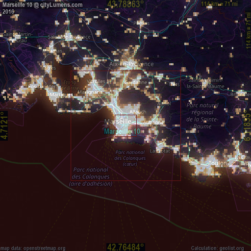
Analysis of Marseille 10 night lights 2016
Square area 10x10 km:
 47.73%
90-99
24.85%80-89
4.09%70-79
0.76%60-69
3.64%50-59
3.48%40-49
2.27%30-39
6.97%20-29
5.3%10-19
0.91%0-9
0%Square area 50x50 km:
6.16%90-99
5.94%80-89
2.72%70-79
1.98%60-69
2.73%50-59
2.8%40-49
3.12%30-39
5.11%20-29
9.63%10-19
13.55%0-9
46.27%Clear (daylight) street map image can be seen on geolist.org.
Map coordinates:
43° 47' 19.1" North, 4° 42' 43.6" East
43° 16' 44" North, 5° 24' 54.8" East
42° 45' 53.4" North, 6° 7' 6.1" East
Some cities around Marseille 10 sort by population:
• Saint-Loup
1.3 km =0.8 mi,  95°
95°
• Saint-Tronc
1.1 km =0.7 mi,  145°
145°
• Rouet
1.9 km =1.2 mi,  267°
267°
• Baille
1.7 km =1.1 mi,  305°
305°
• Le Cabot
2.2 km =1.4 mi,  175°
175°
• La Capelette
0.8 km =0.5 mi,  286°
286°
• Saint-Pierre
1.7 km =1.1 mi,  336°
336°
• La Timone
1.1 km =0.7 mi,  356°
356°
7284890 (p: 51,299)
Sources (retrieved 2019-11-25):
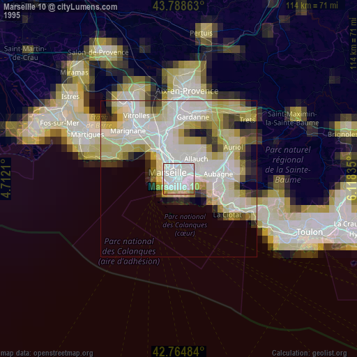
» NASA, Earths city lights 1995
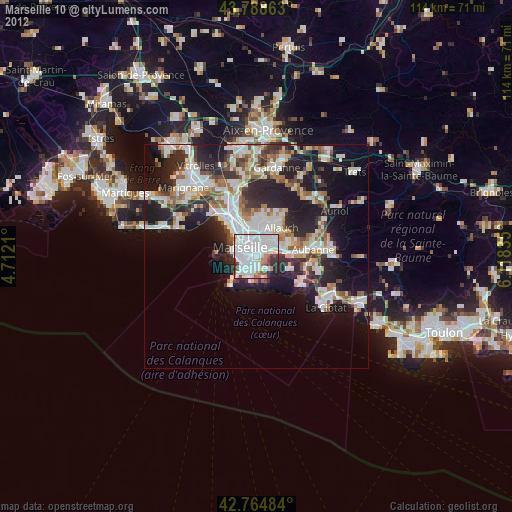
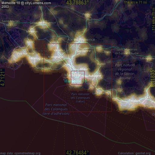
» NASA city lights 2003
» Earth at Night: Flat Maps 2012, 2016