La Timone night lights from space
Night Light of La Timone (Provence-Alpes-Côte d'Azur) from space (France) Src. Average luminocity for 10x10km area is 88.9076% and for 50x50km: 28.0786%.
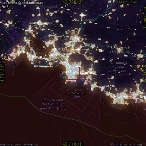
Analysis of La Timone night lights 2016
Square area 10x10 km:
 55.3%
55.3%90-99
24.09%80-89
1.82%70-79
0.91%60-69
3.48%50-59
2.88%40-49
1.97%30-39
6.97%20-29
2.58%10-19
0%0-9
0%Square area 50x50 km:
6.38%90-99
6.19%80-89
2.8%70-79
2.13%60-69
2.8%50-59
2.92%40-49
3.22%30-39
5.25%20-29
9.92%10-19
14.24%0-9
44.15%Clear (daylight) street map image can be seen on geolist.org.
Map coordinates:
43° 47' 53.3" North, 4° 42' 40.8" East
43° 17' 18.5" North, 5° 24' 52.1" East
42° 46' 28.2" North, 6° 7' 3.3" East
Some cities around La Timone sort by population:
• Marseille 10
1.1 km =0.7 mi,  176°
176°
• Marseille 05
1.4 km =0.9 mi,  304°
304°
• La Blancarde
1.5 km =0.9 mi,  331°
331°
• Saint-Barnabé
1.3 km =0.8 mi,  7°
7°
• Baille
1.3 km =0.8 mi,  266°
266°
• La Capelette
1.1 km =0.7 mi,  219°
219°
• La Conception
1.7 km =1.1 mi,  282°
282°
• Saint-Pierre
0.8 km =0.5 mi,  307°
307°
11919762 (p: 5,125)
Sources (retrieved 2019-11-25):
» Earth at Night: Flat Maps 2012, 2016