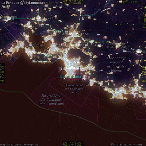
La Panouse night lights from space
Night Light of La Panouse (Provence-Alpes-Côte d'Azur) from space (France) Src. Average luminocity for 10x10km area is 66.7455% and for 50x50km: 24.9425%.
Analysis of La Panouse night lights 2016
Square area 10x10 km:
 29.55%
90-99
19.55%80-89
4.09%70-79
0.76%60-69
4.39%50-59
4.09%40-49
1.52%30-39
8.64%20-29
15.61%10-19
10.15%0-9
1.67%Square area 50x50 km:
5.65%90-99
5.4%80-89
2.52%70-79
1.83%60-69
2.62%50-59
2.52%40-49
2.89%30-39
4.7%20-29
9.01%10-19
12.54%0-9
50.33%Clear (daylight) street map image can be seen on geolist.org.
Map coordinates:
43° 45' 56.5" North, 4° 43' 35.4" East
43° 15' 20.7" North, 5° 25' 46.7" East
42° 44' 29.5" North, 6° 7' 57.9" East
Some cities around La Panouse sort by population:
• Marseille 09
1.9 km =1.2 mi,  265°
265°
• Marseille 10
2.8 km =1.7 mi,  335°
335°
• Sainte-Marguerite
2.4 km =1.5 mi,  286°
286°
• Mazargues
2.8 km =1.7 mi,  247°
247°
• Saint-Loup
2.4 km =1.5 mi,  3°
3°
• Saint-Tronc
1.8 km =1.1 mi, 341°
• Le Cabot
1.1 km =0.7 mi, 288°
• Sainte-Anne
2.9 km =1.8 mi, 273°
3007443 (p: 5,502)
Sources (retrieved 2019-11-25):
» Earth at Night: Flat Maps 2012, 2016