Saint-Pierre-lès-Nemours night lights from space
Night Light of Saint-Pierre-lès-Nemours (Île-de-France) from space (France) Src. Average luminocity for 10x10km area is 21.4122% and for 50x50km: 6.0677%.
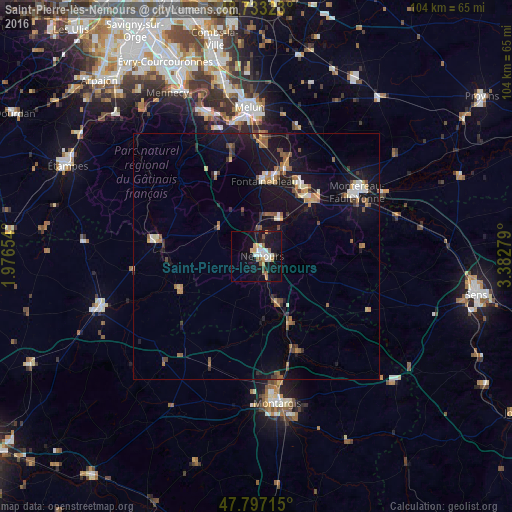
Analysis of Saint-Pierre-lès-Nemours night lights 2016
Square area 10x10 km:
 3.87%
3.87%90-99
4.46%80-89
1.64%70-79
2.38%60-69
2.23%50-59
3.13%40-49
1.04%30-39
0.6%20-29
1.93%10-19
31.1%0-9
47.62%Square area 50x50 km:
0.54%90-99
0.76%80-89
0.41%70-79
0.69%60-69
0.95%50-59
1.09%40-49
0.72%30-39
0.66%20-29
0.7%10-19
7.97%0-9
85.51%Clear (daylight) street map image can be seen on geolist.org.
Map coordinates:
48° 43' 59.6" North, 1° 58' 35.5" East
48° 16' 2.4" North, 2° 40' 46.8" East
47° 47' 49.7" North, 3° 22' 58" East
Some cities around Saint-Pierre-lès-Nemours sort by population:
• Fontainebleau
15.8 km =9.8 mi,  5°
5°
• Avon
15.3 km =9.5 mi, 11°
• Nemours
1.2 km =0.7 mi,  43°
43°
• Champagne-sur-Seine
16.9 km =10.5 mi,  31°
31°
• Malesherbes
20.2 km =12.6 mi,  278°
278°
• Souppes-sur-Loing
10.2 km =6.3 mi,  156°
156°
• Bois-le-Roi
23 km =14.3 mi,  4°
4°
• Veneux-les-Sablons
15 km =9.3 mi, 34°
2977425 (p: 6,435)
Sources (retrieved 2019-11-25):
» Earth at Night: Flat Maps 2012, 2016