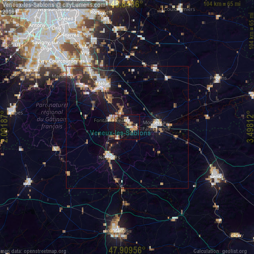
Veneux-les-Sablons night lights from space
Night Light of Veneux-les-Sablons (Île-de-France) from space (France) Src. Average luminocity for 10x10km area is 27.6023% and for 50x50km: 10.7499%.
Analysis of Veneux-les-Sablons night lights 2016
Square area 10x10 km:
 1.99%
1.99%90-99
5.82%80-89
2.7%70-79
4.83%60-69
4.69%50-59
3.27%40-49
1.14%30-39
2.56%20-29
2.27%10-19
42.33%0-9
28.41%Square area 50x50 km:
1.58%90-99
1.79%80-89
0.69%70-79
1.13%60-69
1.35%50-59
1.61%40-49
1.29%30-39
2.21%20-29
2.45%10-19
9.3%0-9
76.59%Clear (daylight) street map image can be seen on geolist.org.
Map coordinates:
48° 50' 37" North, 2° 5' 30.7" East
48° 22' 43.4" North, 2° 47' 42" East
47° 54' 34.4" North, 3° 29' 53.2" East
Some cities around Veneux-les-Sablons sort by population:
• Fontainebleau
7.7 km =4.8 mi,  296°
296°
• Montereau-Fault-Yonne
11.5 km =7.1 mi,  87°
87°
• Avon
6.1 km =3.8 mi, 295°
• Nemours
13.9 km =8.6 mi,  213°
213°
• Vaux-le-Pénil
18.3 km =11.4 mi,  335°
335°
• Champagne-sur-Seine
2.1 km =1.3 mi,  5°
5°
• Saint-Pierre-lès-Nemours
15 km =9.3 mi, 214°
• Bois-le-Roi
12.5 km =7.8 mi,  327°
327°
2970080 (p: 5,091)
Sources (retrieved 2019-11-25):
» Earth at Night: Flat Maps 2012, 2016