Saint-Lô night lights from space
Night Light of Saint-Lô (Normandy) from space (France) Src. Average luminocity for 10x10km area is 19.3697% and for 50x50km: 1.8618%.
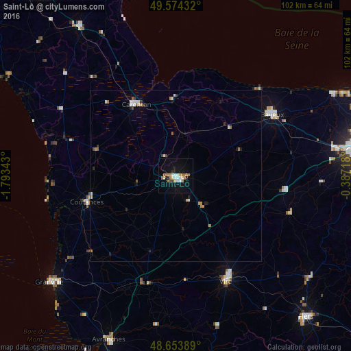
Analysis of Saint-Lô night lights 2016
Square area 10x10 km:
 2.38%
2.38%90-99
3.64%80-89
1.82%70-79
2.52%60-69
4.62%50-59
1.12%40-49
1.26%30-39
0%20-29
2.24%10-19
19.33%0-9
61.06%Square area 50x50 km:
0.18%90-99
0.44%80-89
0.08%70-79
0.17%60-69
0.44%50-59
0.12%40-49
0.19%30-39
0.13%20-29
0.24%10-19
0.97%0-9
97.03%Clear (daylight) street map image can be seen on geolist.org.
Map coordinates:
49° 34' 27.6" North, 1° 47' 36.3" West
49° 6' 58.5" North, 1° 5' 25.1" West
48° 39' 14" North, 0° 23' 13.8" West
Some cities around Saint-Lô sort by population:
• Bayeux
33.3 km =20.7 mi,  57°
57°
• Vire
34.2 km =21.3 mi,  154°
154°
• Granville
48.2 km =30 mi,  230°
230°
• Coutances
27 km =16.8 mi,  253°
253°
• Valognes
51.6 km =32.1 mi,  327°
327°
• Carentan
23.7 km =14.7 mi, 331°
• Condé-sur-Noireau
49.3 km =30.6 mi,  127°
127°
• Agneaux
1.2 km =0.7 mi,  285°
285°
2978758 (p: 21,722)
Sources (retrieved 2019-11-25):
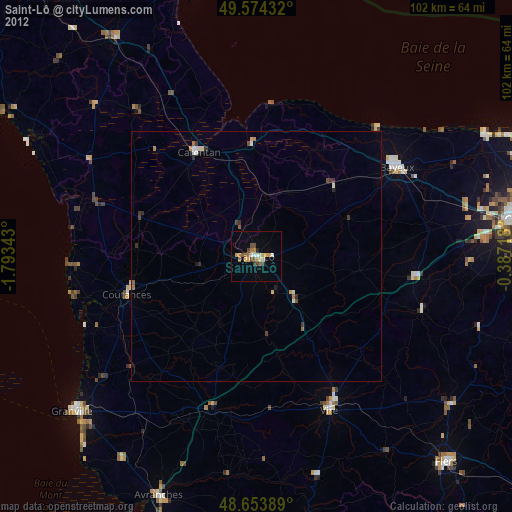
» Earth at Night: Flat Maps 2012, 2016