Vire night lights from space
Night Light of Vire (Normandy) from space (France) Src. Average luminocity for 10x10km area is 12.8665% and for 50x50km: 1.8557%.
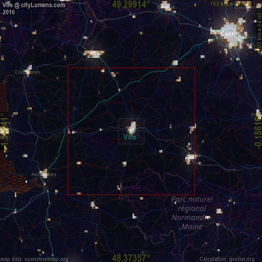
Analysis of Vire night lights 2016
Square area 10x10 km:
 1.42%
1.42%90-99
4.12%80-89
1.85%70-79
0.57%60-69
0.57%50-59
1.7%40-49
1.28%30-39
0.85%20-29
0.71%10-19
3.55%0-9
83.38%Square area 50x50 km:
0.18%90-99
0.42%80-89
0.18%70-79
0.22%60-69
0.21%50-59
0.36%40-49
0.14%30-39
0.2%20-29
0.18%10-19
0.62%0-9
97.29%Clear (daylight) street map image can be seen on geolist.org.
Map coordinates:
49° 17' 56.9" North, 1° 35' 32.7" West
48° 50' 18.6" North, 0° 53' 21.4" West
48° 22' 24.9" North, 0° 11' 10.2" West
Some cities around Vire sort by population:
• Saint-Lô
34.2 km =21.3 mi,  334°
334°
• Flers
25.7 km =16 mi,  116°
116°
• Bayeux
50.6 km =31.4 mi,  15°
15°
• Coutances
46.7 km =29 mi,  299°
299°
• Avranches
38.3 km =23.8 mi,  243°
243°
• La Ferté-Macé
47.8 km =29.7 mi,  125°
125°
• Condé-sur-Noireau
24.7 km =15.3 mi,  87°
87°
• Agneaux
35 km =21.7 mi, 333°
2967972 (p: 14,603)
Sources (retrieved 2019-11-25):
» Earth at Night: Flat Maps 2012, 2016